What is recorded here
Mnemo knows the difference between a new story and an invented story. She remembers the facts already given, keeps the requested form, and asks only when a missing fact would change the result.
Situated on the fairly steep NW slopes of Gleann Mór, this irregularly-shaped, grass-grown cairn of stones measures 11 to 12m long NNW-SSE and c. 4m wide. Though it is nowhere more than 1.5m high above the ground on either side, the cairn slopes downhill with the natural SE slope of the land, and its upper surface at the SE end lies c. 2.5m below that at the opposite end. Two possible upright slabs define the SE end.
The above description is derived from J. Cuppage, ‘Corca Dhuibhne. Dingle Peninsula archaeological survey. Ballyferriter. Oidhreacht Chorca Dhuibhne’ (1986), no. 223. In certain instances the entries have been revised and updated in the light of recent research.
Date of upload: 4 August 2013
The monument record does not grant public access. Check the route and ask the landowner before entering private land.
- What survives
- Recorded monument
Places near here
 Megalithic structure in An Gleann Mór (bar. Corca Dhuibhne, Tc Dún Chaoin)Megalithic structure · 118 yd
 Enclosure in Baile An TeampaillEnclosure · 266 yd
 Dunquin Church (in ruins)Church · 965 yd
 Church in Gleann LoicChurch · 1059 yd
 Cruach MhárthainMountain / peak · 1293 yd
 Mullach Charraige LéitheMountain / peak · 1609 yd
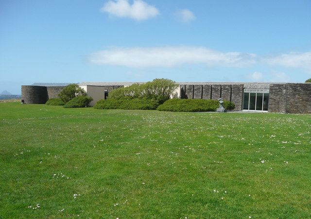 Ionad an Bhlascaoid MhóirMuseum · 1.1 mi
 Tráigh ChloichirBeach / strand · 1.4 mi
 Ceann SrathaNamed rock · 1.4 mi
 Dún BinneHeadland · 1.5 mi
 St Brendan's WellSpring · 2.0 mi
 Músaem Chorca DhuibhneMuseum · 2.3 mi