What is recorded here
Cairn holds twelve upright stones in a narrow circle on a Cork bog plateau, their long edges pointing inward like ribs around a hidden heart. Two taller stones mark the southwest, perhaps guiding a person into the middle or holding a boundary the land still remembers. The bog has swallowed every base and joint, leaving only tops proud enough to touch.
Described by Quinn and Carroll (2010) as ‘ a Radial Stone Cairn located E of existing bog trackway (between proposed locations of T2 and T4). Situated in bogland on relatively level plateau. 12 upright stones protrude from the bog and are arranged in a circle. The stones are fairly evenly spaced with 0.5m – 0.6m between them. Two axial stones are located at the SW with the tallest of them measuring 0.75m in height. The upright stones have their long axes facing towards the centre of the circle. The circle measures 3.2 – 3.6m in diameter.'
Quinn, A and Carroll, M (2010) ‘Archaeological, Architectural and Cultural Heritage Assessment for a Proposed Wind Farm at Doonens Co. Cork’, Unpublished report, Tobar Archaeological Services.
Compiled by: Denis Power
Date of upload: 21 August 2013
Radial-stone cairn, likely dating to the Neolithic or early Bronze Age. This type of monument is significant for understanding early ritual practices and funerary architecture in the region.
The monument record does not grant public access. Check the route and ask the landowner before entering private land.
- What survives
- Recorded monument
Places near here
 Enclosure in An Inse Mhór (tc Béal Átha An Ghaorthaidh)Enclosure · 169 yd
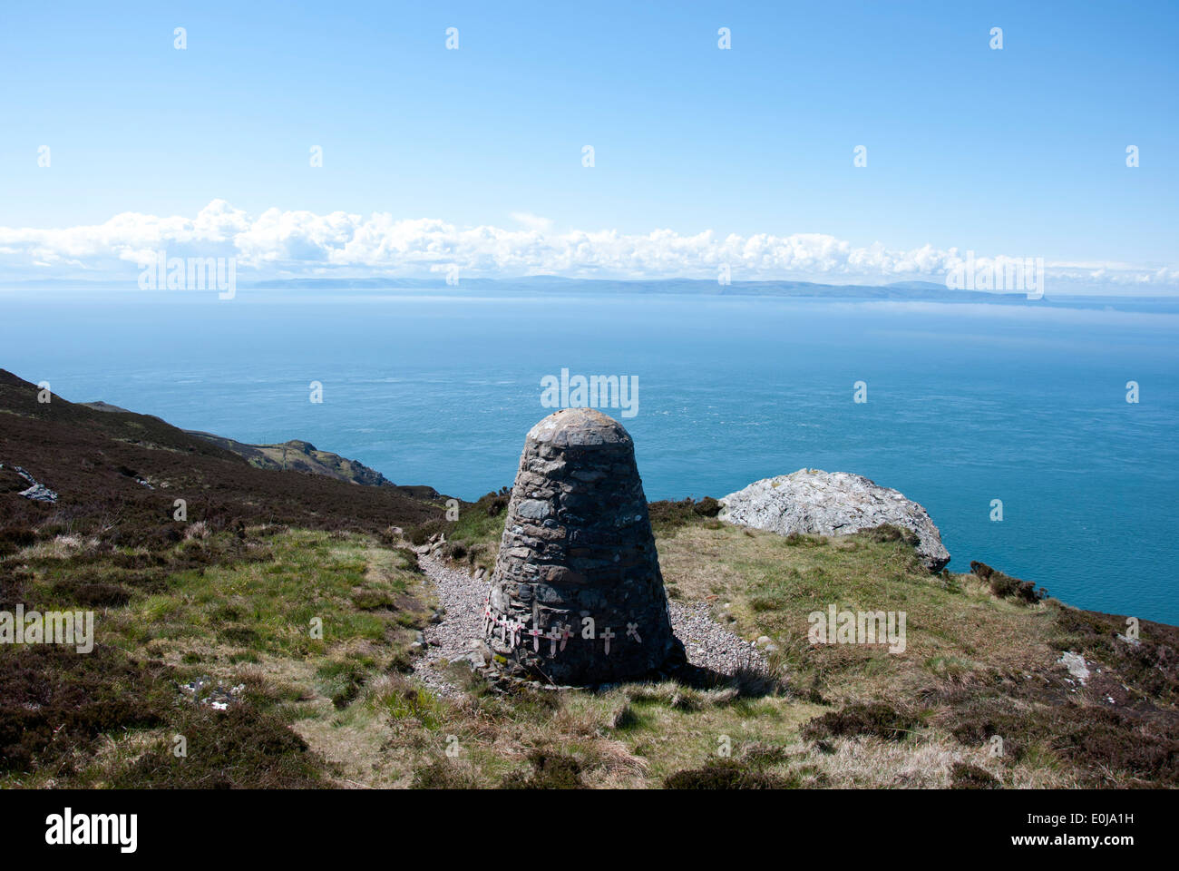 CairnCairn, unclassified · 207 yd
 Doughill MountainMountain / peak · 1547 yd
 Douce MountainMountain / peak · 1.6 mi
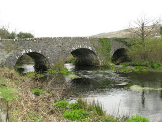 Inchinossig Bridgebridge · 2.1 mi
 Stepping StonesClapper bridge · 2.2 mi
 Gougane BarraValley and heritage place · 2.3 mi
 European ashEuropean ash · 2.4 mi
 Gortnahoughtee Mass RockNamed rock · 4.8 mi
 St Finbarr's Pilgrim RouteWalking route · 5.2 mi
 Sli Gaeltacht MuscraiWalking route · 6.0 mi
 Togher CastleCastle, tower house · 6.1 mi