What is recorded here
Carrick Castle stands on a narrow island in Lough Erne, surrounded by water and shadow. Its stones mark a border between counties and memories. Men built it to control the lake, watch the land, and remind others that power can be as simple as occupying the middle of the world.
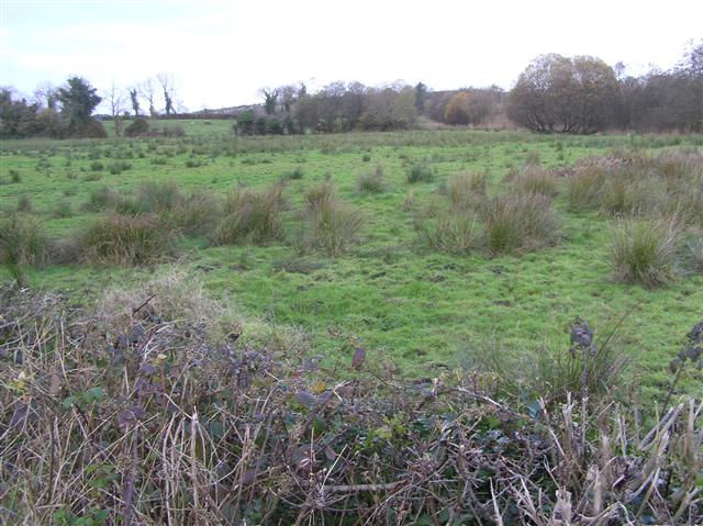
The official Northern Ireland record identifies this as CAIRN; ORTHOSTAT; possibly COURT TOMB. Recorded period: PREHISTORIC. Recorded protection: Scheduled. The official map point was placed at the centre of the recorded archaeological site from the source map reference.
Court tomb, dating to the Neolithic period (c. 3700–2500 BCE). These tombs are significant as early communal burial sites, reflecting social organisation and ritual practices in prehistoric Ireland.
The monument record does not grant public access. Check the route and ask the landowner before entering private land.
- What survives
- Recorded monument
Places near here
_-_geograph.org.uk_-_2434151.jpg?width=1280) WEDGE TOMB: GIANT'S GRAVE in MountdrumWEDGE TOMB: GIANT'S GRAVE · 267 yd
WEDGE TOMB: GIANT'S GRAVE in MountdrumWEDGE TOMB: GIANT'S GRAVE · 267 yd_-_geograph.org.uk_-_2434153.jpg?width=1280) MEGALITHIC TOMB in MountdrumMEGALITHIC TOMB · 296 yd
MEGALITHIC TOMB in MountdrumMEGALITHIC TOMB · 296 yd Cloghtogle MountainMountain / peak · 1393 yd
 Topped MountainMountain / peak · 1.5 mi
 Parish ChurchChurch · 1.5 mi
 Presbyterian ChurchChurch · 1.5 mi
 Pubble ForestForest · 2.6 mi
 Coneyburrow WoodWood · 3.0 mi
 The Ice HouseHeritage attraction · 3.1 mi
 Castle CooleCountry House · 3.2 mi
 Cleenish IslandIsland · 4.2 mi
 Knock IslandIsland · 4.3 mi