What is recorded here
Longmore in County Antrim holds a prehistoric cairn, its age uncertain but its purpose clear: someone stacked stones there and left them for others to see. The act was simple, yet it crossed generations. People may have gathered at that spot to mark loss, celebrate life or orient themselves across open land. The stones still stand as witness. They remember the hands that built them and the skies that watched over them.
The official Northern Ireland record identifies this as CAIRN. Recorded period: UNCERTAIN; PREHISTORIC. The official map point was placed at the centre of the recorded archaeological site from the source map reference.
The monument record does not grant public access. Check the route and ask the landowner before entering private land.
- What survives
- Recorded monument
Places near here
 ENCLOSURE in LongmoreENCLOSURE · 273 yd
 ENCLOSURE & FIELD BOUNDARY in LongmoreENCLOSURE & FIELD BOUNDARY · 611 yd
 Mid HillMountain / peak · 2.6 mi
 CarncormickMountain / peak · 3.1 mi
 SlemishMountain / peak · 3.9 mi
 The Thatch InnPublic House · 4.9 mi
 Cranny FallsWaterfall · 5.5 mi
 Glenarm ForestForest · 5.9 mi
 Millennium MilepostVisitor information · 6.1 mi
 Carnlough HarbourHarbour/ Pier · 6.2 mi
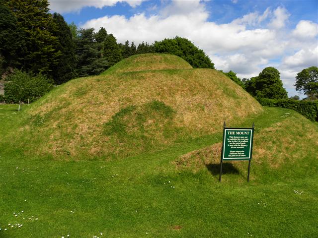 The MountViewpoint · 6.2 mi
 Glenarm CastleCastle · 6.4 mi