What is recorded here
Carnanmore stood in Curramoney during the Bronze Age, marking human presence before written history. The cairn is destroyed now, leaving only a map point where stones once caught light and wind. Whatever hands built it have turned to dust, but the ground still remembers the shape they gave it.
The official Northern Ireland record identifies this as CAIRN (destroyed): CARNANMORE. Recorded period: BRONZE AGE; PREHISTORIC. The official map point was placed at the centre of the recorded archaeological site from the source map reference.
Bronze Age portal dolmen; part of a broader prehistoric funerary and ritual landscape in the region. Its destruction highlights the loss of significant archaeological heritage in the area.
The monument record does not grant public access. Check the route and ask the landowner before entering private land.
- What survives
- Recorded monument
Places near here
 CHURCH: KILLYDAGHTAN (OS memoir site; unlocated) in KilmahamogueCHURCH: KILLYDAGHTAN (OS memoir site; unlocated) · 561 yd
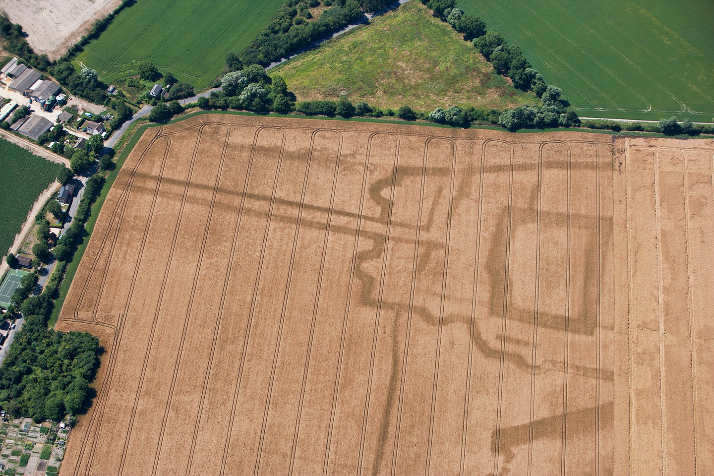 A.P. SITEA.P. SITE, cropmark of enclosure with ?annexe · 1221 yd
 Drumtullagh Parish ChurchChurch · 1261 yd
 Kilmoyle WoodForest · 1.2 mi
 Ramoan Presbyterian ChurchChurch · 2.0 mi
 The Dark HedgesViewpoint · 2.7 mi
 MOTTE WITH CASTLE RUINS & Man-made underground passage in CloghanmurryMOTTE WITH CASTLE RUINS & Man-made underground passage · 3.2 mi
 RECTANGULAR CROPMARKRECTANGULAR CROPMARK, CASTLE?: CASTLE BANE · 3.5 mi
 Causeway Coast and Glens Heritage TrustVisitor information · 3.7 mi
 PRE-NORMAN CHURCH & ROUND TOWER; MEDIEVAL PARISH CHURCH; POST-MEDIEVAL CHURCH & GRAVEYARD: ARMOY CHURCH & ROUND TOWER in GlebePRE-NORMAN CHURCH & ROUND TOWER; MEDIEVAL PARISH CHURCH; POST-MEDIEVAL CHURCH & GRAVEYARD: ARMOY CHURCH & ROUND TOWER · 3.9 mi
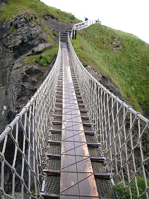 Carrick-a-rede Rope BridgeHeritage attraction · 4.9 mi
 Carrickarede IslandIslet · 4.9 mi