What is recorded here
On the crest of a slight E-W ridge. Described in 1952 as a cairn called 'Cruachan na Raiceann' (NMI file), which may have been a clearance cairn. It is not visible now at ground level in pasture, and its exact location is not known.
Compiled by: Michael Moore
Date of upload: 24 August 2010
The monument record does not grant public access. Check the route and ask the landowner before entering private land.
- What survives
- Recorded monument
Places near here
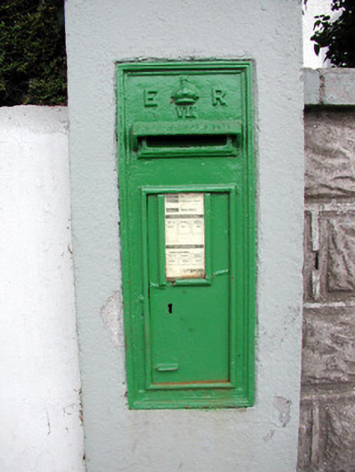 post boxpost box · 654 yd
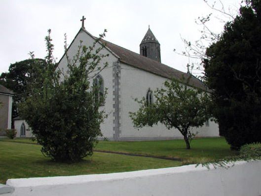 Saint Mary's Catholic Churchchurch/chapel · 680 yd
 Tully CastleArchaeological place · 1209 yd
 Embanked enclosureFairy fort / earthen ringfort · 1278 yd
 Tonvee CastleCastle, unclassified · 1568 yd
 IndicatedFairy fort / stone ringfort · 1575 yd
 Split HillMountain / peak · 2.7 mi
 Devenish IslandIsland · 3.3 mi
 HawthornHawthorn · 3.9 mi
 Long IslandIsland · 3.9 mi
 Graveyard in ClonmacnoiseGraveyard · 4.1 mi
 ClonmacnoiseMuseum · 4.1 mi