What is recorded here
Carnkirk stands in County Antrim as a prehistoric cairn, marking an era when human hands first shaped that landscape. The stones may have guided travellers, honored the dead, or simply resisted the endless Irish rain. Whatever purpose birthed the heap, it survived every empire and forgetfulness to wait beside the road still.
The official Northern Ireland record identifies this as CAIRN: CARNKIRK. Recorded period: PREHISTORIC. The official map point was placed at the centre of the recorded archaeological site from the source map reference.
Neolithic passage tomb; dates to the prehistoric period. Its significance lies in its association with early ceremonial and burial practices in the region.
The monument record does not grant public access. Check the route and ask the landowner before entering private land.
- What survives
- Recorded monument
Places near here
 ROUND CAIRN: CARNKIRK CASTLE in CarnkirkROUND CAIRN: CARNKIRK CASTLE · 466 yd
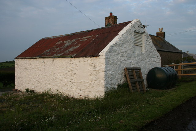 MOUND (cashel or barrow?): CASTLENAGREE in CastlenagreeMOUND (cashel or barrow?): CASTLENAGREE · 921 yd
 ENCLOSURE; probably tree ring in KilcoobinENCLOSURE; probably tree ring · 1055 yd
 CASTLE: BURNT HOUSE (O.S. memoir site; unlocated) in BallymoyCASTLE: BURNT HOUSE (O.S. memoir site; unlocated) · 1443 yd
 MILITARY ENTRENCHMENTS: THE CASTLES in LisserlussMILITARY ENTRENCHMENTS: THE CASTLES · 1453 yd
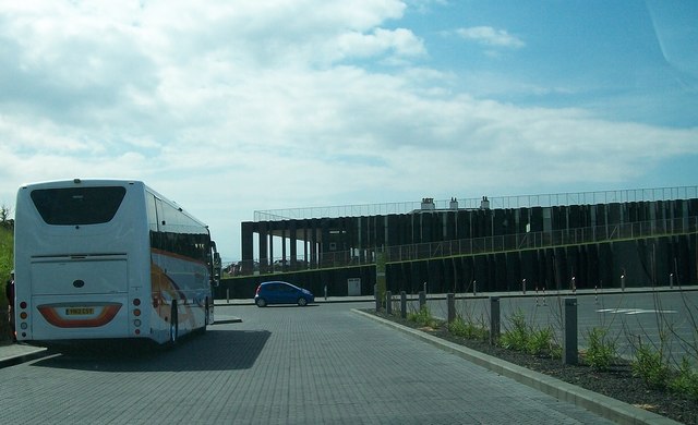 Giant's Causeway Visitor ExperienceMuseum · 1.1 mi
 Causeway HotelHotel · 1.1 mi
 Blue Trail, Giant's CausewayWalking route · 1.1 mi
 Red Trail, Giant's CausewayWalking route · 1.2 mi
 Giant's GateHeritage attraction · 1.3 mi
 Runkerry Stand (Bushfoot)Beach / strand · 1.3 mi
 Runkerry BeachVisitor information · 1.4 mi