What is recorded here
Carnbrock is a Bronze Age cairn in County Antrim, Ireland. People built it long before written records reached that coast, likely marking death, territory or prayer on open ground. The stones still sit where human hands arranged them, waiting for rain, boots and memory to finish what ceremony began.
The official Northern Ireland record identifies this as CAIRN: CARNBROCK. Recorded period: BRONZE AGE; UNCERTAIN. The official map point was placed at the centre of the recorded archaeological site from the source map reference.
Bronze Age cairn; its significance lies in contributing to the understanding of burial and ritual practices in early Northern Ireland.
The monument record does not grant public access. Check the route and ask the landowner before entering private land.
- What survives
- Recorded monument
Places near here
 ENCLOSURE? (unlocated) in BentraENCLOSURE? (unlocated) · 686 yd
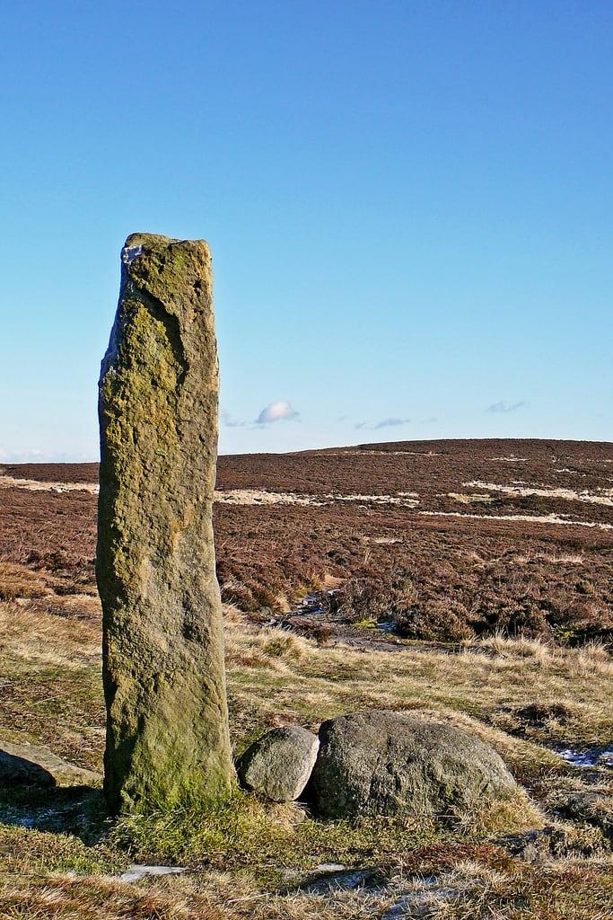 HENGE (?) or HENGIFORM ENCLOSURE (?) (Possible) in DobbslandHENGE (?) or HENGIFORM ENCLOSURE (?) (Possible) · 1128 yd
 Presbyterian ChurchChurch · 1.0 mi
 FORTIFICATIONFORTIFICATION, BAWN · 1.1 mi
 Methodist ChurchChurch · 1.1 mi
 POST-MED CHURCH; MEDIEVAL PARISH CHURCH; GRAVEYARD: TEMPLECORRAN CHURCH or TEMPLE-I-CORRAN or LISLAYNAN in Forthill (ballycarry)POST-MED CHURCH; MEDIEVAL PARISH CHURCH; GRAVEYARD: TEMPLECORRAN CHURCH or TEMPLE-I-CORRAN or LISLAYNAN · 1.2 mi
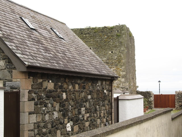 TOWER-HOUSE: CASTLE CHICHESTER in White HeadTOWER-HOUSE: CASTLE CHICHESTER · 1.2 mi
 Muldersleigh HillMountain / peak · 1.8 mi
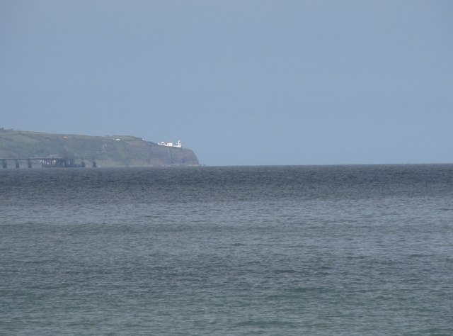 BlackheadHeadland · 2.2 mi
 Andrew Jackson Cottage and US Rangers CentreHeritage attraction · 2.8 mi
 the gobbins pathHeritage attraction · 3.6 mi
 US RangersMemorial · 3.7 mi