What is recorded here
Cairn is a burial cairn on Birreencorragh Mountain, the third highest peak in the Nephin Beg Mountain range, where two stone heaps face the valleys of Glendavoolagh and Glendorragha. The older heap has a hollow centre, as if people cut into it or the mountain exhaled its dead. A newer wall rings the hollow, perhaps built to shield a person, a flame or a memory from the western wind. The small bank between the cairns suggests they belonged to one ritual, one boundary or one family of ghosts.
Immediately to NE of a larger cairn (MA058-009----) on the summit of Birreencorragh Mountain, the third highest peak in the Nephin Beg Mountain range, with panoramic views in all directions. The two cairns are located at the SW edge of the summit where the ridge slope falls away abruptly to a col at SW. The location straddles the boundary between the townlands of Glendavoolagh and Glendorragha, with the mountain slope on either side of the cairns falling steeply into the valley of Glendavoolagh at W and Glendorragha valley at E.
This appears to be the remains of an ancient cairn that was damaged in the recent past. It consists of a roughly circular concentration of stones (diam. c. 5m; H c. 1.5m), the centre of which has been hollowed out (diam. 2.6m; D 1.2m). A roughly built modern wall encircles the central hollow, probably built to provide shelter. The stonework of the more recent structure is easily distinguished from the older cairn material.
A rough stone bank (L 3m N-S; Wth 2m; H 0.5m high) connects this cairn with the larger cairn (MA058-009---) to SW.
Notified to NMS by Michael Gibbons.
The attached image is courtesy of Michael Gibbons:
MA058-010----_01.JPG viewed from SW
Compiled by: Jane O’Shaughnessy
Date of upload: 8 February 2023
The monument record does not grant public access. Check the route and ask the landowner before entering private land.
- What survives
- Recorded monument
Places near here
 BirreencorraghMountain / peak · 12 yd
 Birreencorragh South TopMountain / peak · 1.2 mi
 RaweedoonminnonFairy fort / earthen ringfort · 3.3 mi
 IndicatedFairy fort / earthen ringfort · 3.6 mi
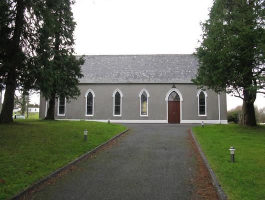 Saint Joseph's Catholic Churchchurch/chapel · 3.7 mi
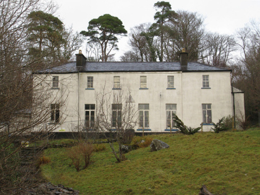 Treanlaur Lodgehunting/fishing lodge · 4.0 mi
 Letterkeen LoopWalking route · 4.6 mi
 IslandmoreIslet · 4.9 mi
 Tree IslandIslet · 5.1 mi
 Ballyduffy CastleCastle, unclassified · 7.3 mi
 Titanic Memorial ParkMemorial · 7.4 mi
 CastleCastle, unclassified · 7.6 mi