What is recorded here
Cairn stands eighteen metres across on the bare quartzite summit of Birreencorragh Mountain, watching both Glendavoolagh and Glendorragha valleys from the abrupt western edge of the ridge. Its loose blocks rise three metres at the west but flatten toward the east, while a rough stone causeway still points northeast toward its companion cairn. People may have climbed this exposed place to bury the dead, mark territory or simply enjoy the rare panorama, but the mountain has kept their intention hidden beneath wind-worn stone.
On the summit of Birreencorragh Mountain, the third highest peak in the Nephin Beg range, with panoramic views in all directions. The cairn is located at the SW end of the ridge top where the ridge ends abruptly, dropping to a col at SW. The location straddles the boundary between the townlands of Glendavoolagh and Glendorragha, with the mountain slope flanking the cairn falling steeply into the valley of Glendavoolagh at W and Glendorragha valley at E. The mountain is composed of metamorphic rock, quartzite and schists; the peak is now largely denuded of its original covering of peat.
This well defined, broadly oval cairn (diam. c. 18m N-S; c. 14m E-W) is composed of loose quartzite blocks, covered in parts by a thin mantle of peat. It stands to a height of 2.5-3m at W and c. 1-1.3m at NE. Large boulders visible along the SE edge may be part of a kerb.
The Ordnance Survey used the cairn as a trigonometrical station, and broken remnants of an OS concrete pillar lie on the cairn surface. Other signs of modern disturbance include a small recently built cairn (H c. 1.2m) sitting on top of the SW end of the ancient cairn.
A rough stone bank/causeway (L 3m N-S; Wth 2m; H 0.5m high) connects this cairn with another cairn (MA058-010----) at NE. This causeway appears to be an original feature.
Notified to NMS by Michael Gibbons.
The attached images are courtesy of Michael Gibbons:
MA058-009----_01.JPG viewed from N
MA058-009----_01.JPG Viewed from SE
Compiled by: Jane O’Shaughnessy
Date of upload: 8 February 2023
Burial cairn, likely dating to the Bronze Age. Its location on a prominent mountain summit suggests it may have had ritual or ceremonial significance, possibly serving as a marker or monument visible from afar.
The monument record does not grant public access. Check the route and ask the landowner before entering private land.
- What survives
- Recorded monument
Places near here
 BirreencorraghMountain / peak · 8 yd
 Birreencorragh South TopMountain / peak · 1.2 mi
 RaweedoonminnonFairy fort / earthen ringfort · 3.3 mi
 IndicatedFairy fort / earthen ringfort · 3.6 mi
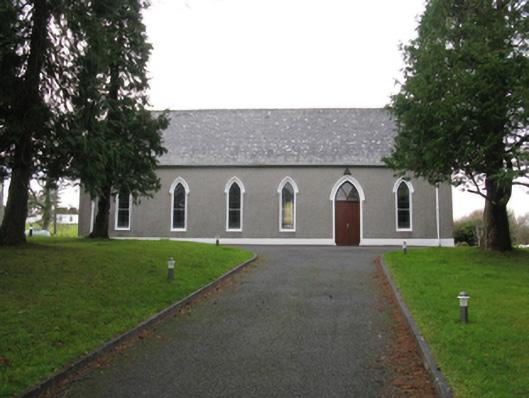 Saint Joseph's Catholic Churchchurch/chapel · 3.7 mi
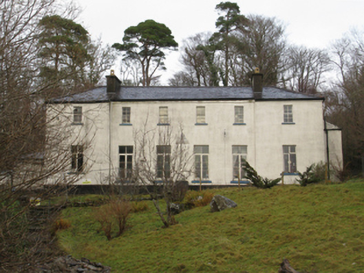 Treanlaur Lodgehunting/fishing lodge · 4.0 mi
 Letterkeen LoopWalking route · 4.6 mi
 IslandmoreIslet · 4.9 mi
 Tree IslandIslet · 5.1 mi
 Ballyduffy CastleCastle, unclassified · 7.3 mi
 Titanic Memorial ParkMemorial · 7.4 mi
 CastleCastle, unclassified · 7.6 mi