
What is recorded here
Cairn marks the boundary between Barna, Carrigeen Mountain and Baunteen on Lyracappul Mountain. It appeared as a mound on later maps but has vanished from modern satellite views, leaving only memory and the two nearby stones to testify that people once stood there, drew a line across the ridge and believed the line should be seen.
In rough pasture, on the ridge of Lyracappul Mountain, on the townland boundaries between Barna, Carrigeen Mountain and Baunteen. Two cairns (LI050-023001-/003-) lie 150m to the NE. Not marked on the 1840 ed. OSi 6-inch map. Annotated ‘Mound’ on the 1897 ed. OSi 25-inch map. Depicted on the Cassini ed. OSi 6-inch map as a circular area defined by a scarp. No surface remains visible on Digital Globe orthoimage taken between 2011-2013 and on Google Earth orthoimages.
See attached Google Earth orthoimages
Compiled by: Fiona Rooney
Date of upload: 7 November 2021
A boundary cairn, likely dating to the Bronze Age; such cairns were used to mark territorial divisions and have significance in understanding ancient land use and social organisation.
The monument record does not grant public access. Check the route and ask the landowner before entering private land.
- What survives
- Recorded monument
Places near here
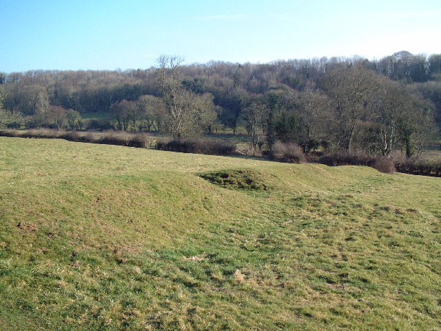 MoundsCairn, boundary cairn · 173 yd
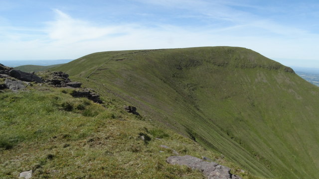 CarrignabinniaMountain / peak · 188 yd
 Mound, 2697 ft. ODCairn, boundary cairn · 226 yd
 LyracappulMountain / peak · 569 yd
 Assaroula WaterfallWaterfall · 1.1 mi
 Barrack Bridgebridge · 1.5 mi
 Assaroola Bridgebridge · 1.6 mi
 Giant's Rock - Rock of AglaishNamed rock · 1.8 mi
 Noel's NippleNamed rock · 1.8 mi
 Lough CurraWalking route · 2.1 mi
 Site of Dungrot CastleCastle, unclassified · 2.3 mi
 Combaun WoodsViewpoint · 2.7 mi
Other information
Photo: Credit not shown in the picture search · Rights wording not checked; contact us if this picture should be removed