
What is recorded here
Cairn marked the boundary between Ballynamuddagh and Carrigeen Mountain on a west-facing slope in County Limerick. The mound vanished before the 1999 visit, leaving only map lines and memory behind. It may have been a post-1700 boundary marker, built by neighbours who needed a visible edge between their lands.
On moderate W facing mountain slope with excellent views in all directions. Annotated 'Mound' on Cassini ed. OSi 6-inch map where a mound is shown standing on the townland boundary between Ballynamuddagh and Carrigeen Mountain. Site visited in 1999 but no surface remains of any mound could be found in the area marked on OSi 6-inch map. Probably the remains of a post-1700 boundary cairn marking the line of the townland boundary.
Compiled by: Caimin O’Brien
Date of upload: 20 October 2021
A boundary cairn, likely dating to the Bronze Age; its placement on a prominent mountain slope suggests a territorial or ritual function.
The monument record does not grant public access. Check the route and ask the landowner before entering private land.
- What survives
- Recorded monument
Places near here
 LyracappulMountain / peak · 798 yd
 Assaroula WaterfallWaterfall · 1206 yd
 Temple HillMountain / peak · 1314 yd
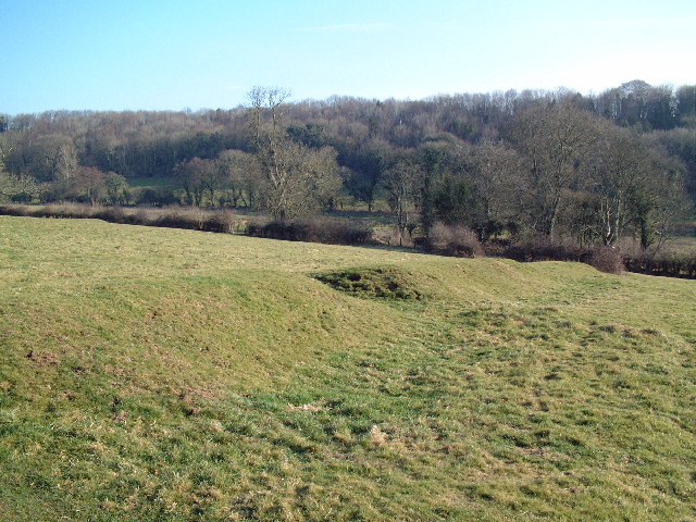 MoundsCairn, boundary cairn · 1499 yd
 Mound, 2697 ft. ODCairn, boundary cairn · 1551 yd
 Eagles StepCliff · 1.4 mi
 Assaroola Bridgebridge · 1.4 mi
 Barrack Bridgebridge · 1.6 mi
 Combaun WoodsViewpoint · 2.0 mi
 Giant's Rock - Rock of AglaishNamed rock · 2.5 mi
 Coopers WoodWood · 2.6 mi
 Lough CurraWalking route · 2.8 mi
Other information
Photo: Credit not shown in the picture search · Rights wording not checked; contact us if this picture should be removed