What is recorded here
In pasture, located on a terrace on a SW-facing slope. This cashel is named ‘Cahervilla’ on the 1838 and 1919 OS 6-inch maps, and is indicated as a roughly oval enclosure (c. 65m NW−SE; c. 50m NE−SW) incorporated into later field boundaries. Subdivisions within the interior, and a rectangular building at the NE edge of the enclosure, are indicated on the 1838 map; these are not shown on the 1919 edition. The cashel has been levelled; a modern dwelling stands in the SE half, and a roadway, bordered by a drystone wall, skirts what was the W side of the enclosure.
A cross-slab (MA105-015----) stands in the N half, though this may not be its original location. The large size of the enclosure, coupled with its association with the cross-slab, raises the possibility that the enclosure may have been ecclesiastical in nature.
Compiled by: Jane O’Shaughnessy
Date of upload: 24 October 2017
A local fairy fort (ringfort/rath); wider significance not recorded.
The monument record does not grant public access. Check the route and ask the landowner before entering private land.
- What survives
- Recorded monument
Places near here
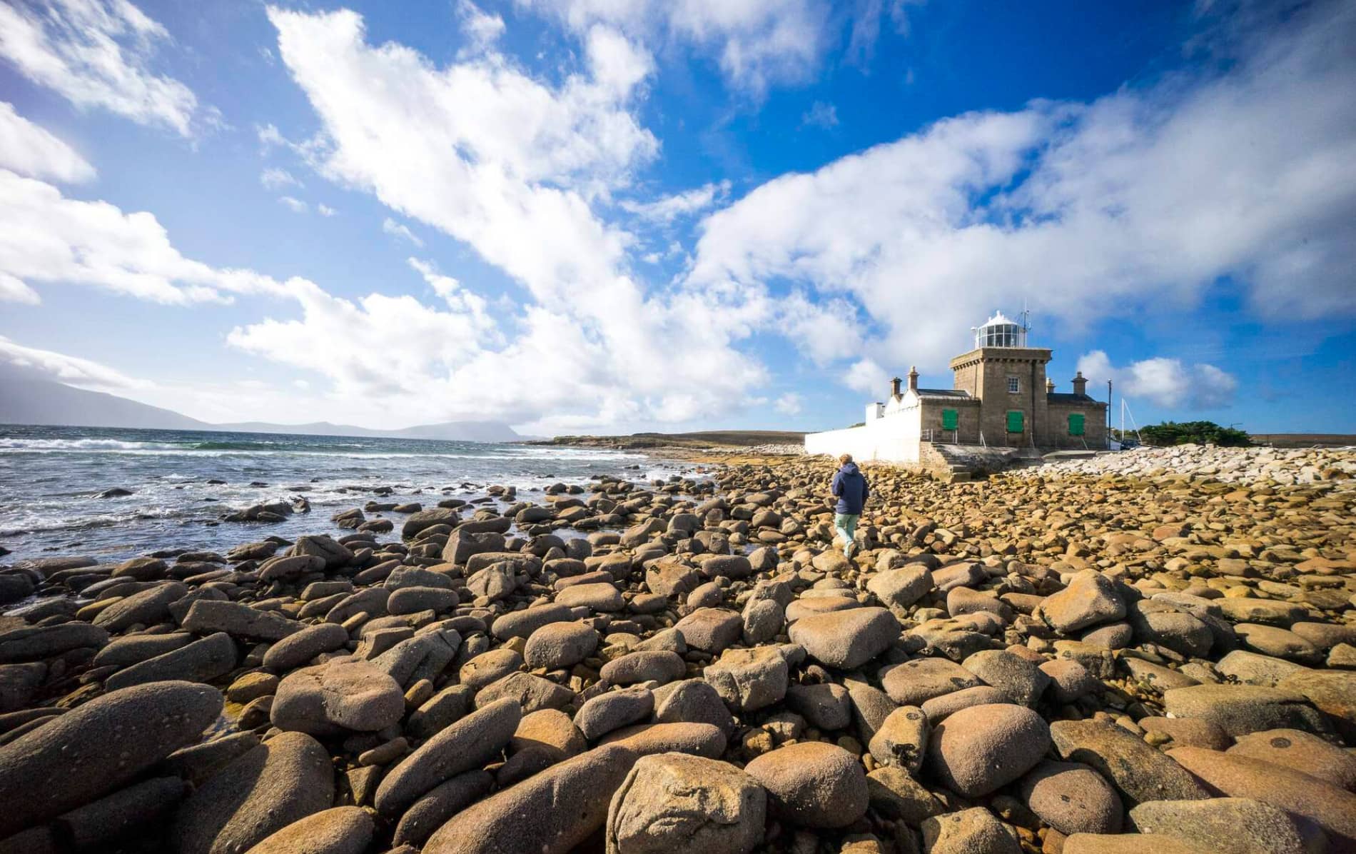 Enclosure in KinnakillewEnclosure · 519 yd
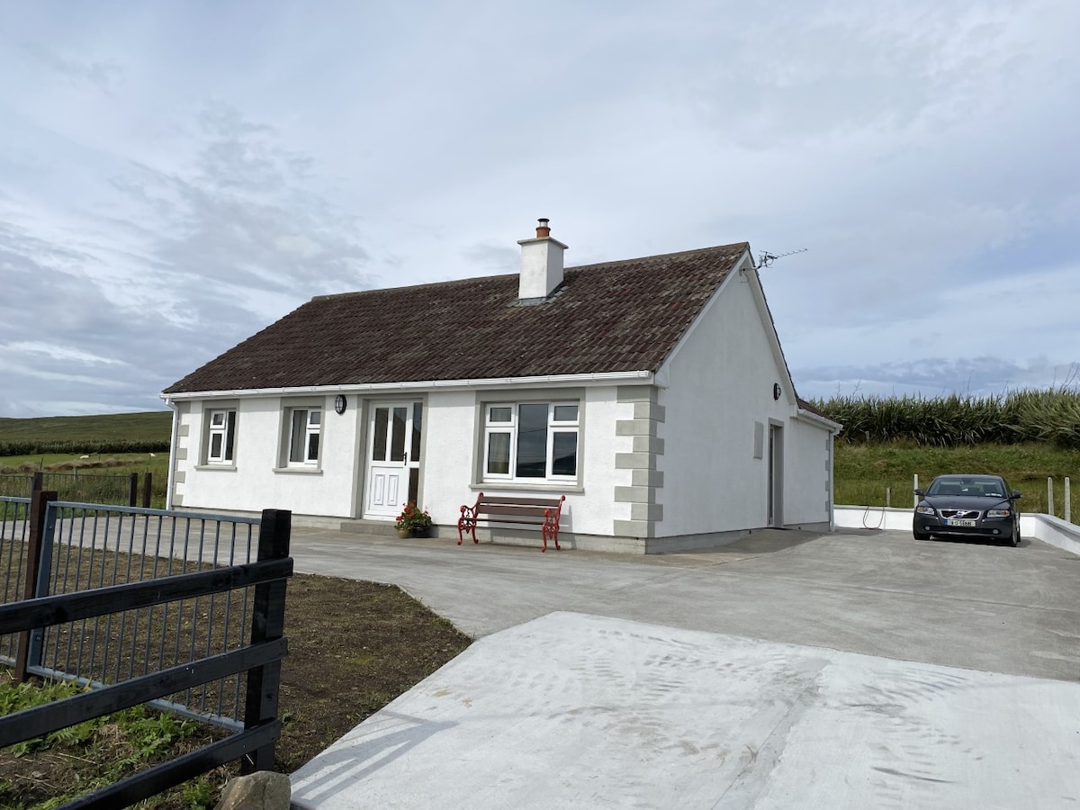 TobergortnaunHoly well · 1630 yd
 Silver StrandBeach / strand · 1708 yd
 Uggool BeachBeach / strand · 1.4 mi
 DooneenIslet · 1.7 mi
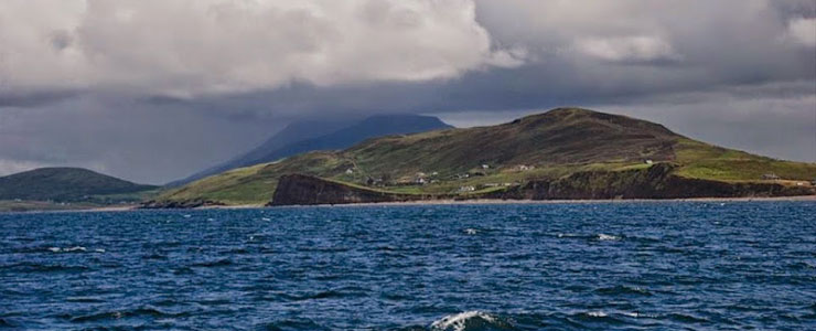 Carricknaglamph IslandIslet · 1.9 mi
 White StrandBeach / strand · 2.0 mi
 MweelreaMountain / peak · 2.0 mi
 GubanillaunHeadland · 2.0 mi
 Ben BuryMountain / peak · 2.3 mi
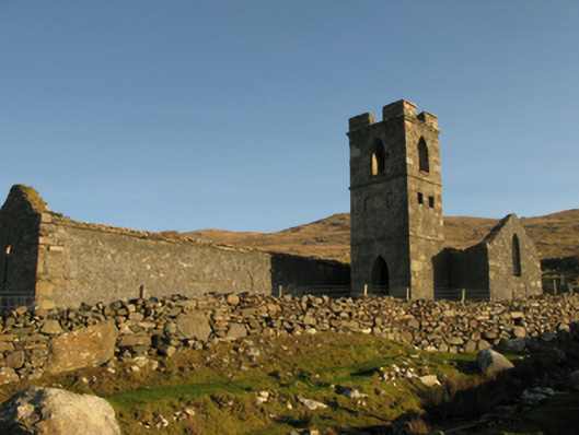 Gowlaun Catholic Chapelchurch/chapel · 2.6 mi
 Salrock Churchchurch/chapel · 3.4 mi