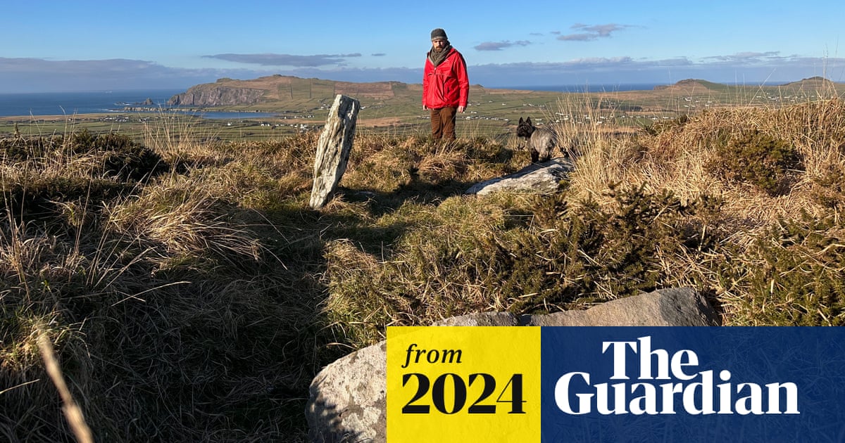
What is recorded here
Cashel described by Cuppage (1986, 201, no. 562) as follows; 'Cahernacullia/Cathair na Coille: This roughly circular cashel lies on the SE slopes of Sea Hill overlooking Dingle Bay. A N-S field wall divides the site into 2 unequal portions, and the enclosing wall to E of this is now reduced to a low grass-grown bank. The remainder of the cashel wall is represented only by its outer face, of large boulders set upright or laid horizontally, and in places by a band of stone collapse. The foundations of a possible pair of circular conjoined huts abut the W side of the field wall, their E limit now obscured by the latter. The ruined walls stand to a height of c. 0.5m and the structures measure 2.7m and 6.52m x 8.9m internally'.
The monument record does not grant public access. Check the route and ask the landowner before entering private land.
- What survives
- Recorded monument
Places near here
 CloghauntoborArchaeological place · 290 yd
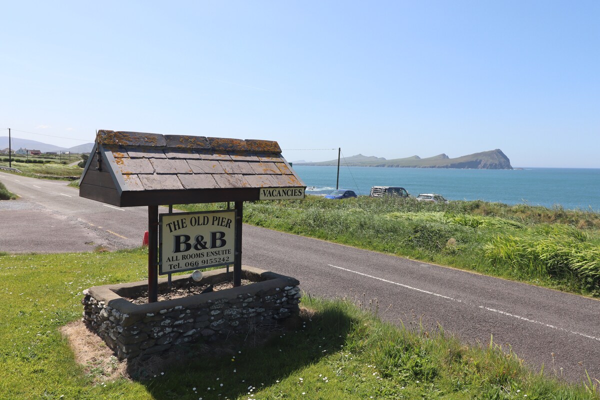 Hut site in An Coimín (tc An Mhín Aird)Hut site · 910 yd
 CarrigavinnaunNamed rock · 1551 yd
 Country house in Arda Mór (tc Cinn Aird)Country house · 1.4 mi
 Lispole Ambush MonumentWayside cross · 1.8 mi
 Séipéal Eoin Baiste [Catholic Church of Saint John the Baptist]church/chapel · 1.8 mi
 Cnoc an GhleannaMountain / peak · 2.1 mi
 Tobar EoinSpring · 2.6 mi
 Caisleán na Mine AirdeCastle · 2.7 mi
 Minard Castle (in ruins)Castle, tower house · 2.7 mi
 40Cliff · 2.8 mi
 Ballintaggart Ogham StonesVisitor information · 3.1 mi
Other information
Photo: Credit not shown in the picture search · Rights wording not checked; contact us if this picture should be removed