What is recorded here
On a slight rise in recently cleared scrubland. When initially visited by the Survey in December 1982, this fairly well-preserved circular cashel (diam. 38.2m) was defined by a drystone wall. Within NW quadrant of the interior lay a rectangular house site (GA095-001003-). Traces of internal dividing walls were evident at E and W. McCaffrey (1952, 125, no. 50) noted another rectangular structure (GA095-001004-) abutting the cashel wall at S as well as a semicircular wall (L c. 40m) immediately to the E of the cashel. This wall partly enclosed a ‘Man-made underground passage’ (GA095-001002-) and a ‘house site’ (GA095-001005-). Another ‘house site’ (GA095-001006-) was visible c. 15m to N of the wall. No visible surface trace of these features was noted. The cashel was bulldozed in 1991. (Redington 1912a, 172; Topgr. Files, National Monuments Service)
Compiled by: Galway Archaeological Survey, UCG
Date of upload: 12 October 2016
The monument record does not grant public access. Check the route and ask the landowner before entering private land.
- What survives
- Recorded monument
Places near here
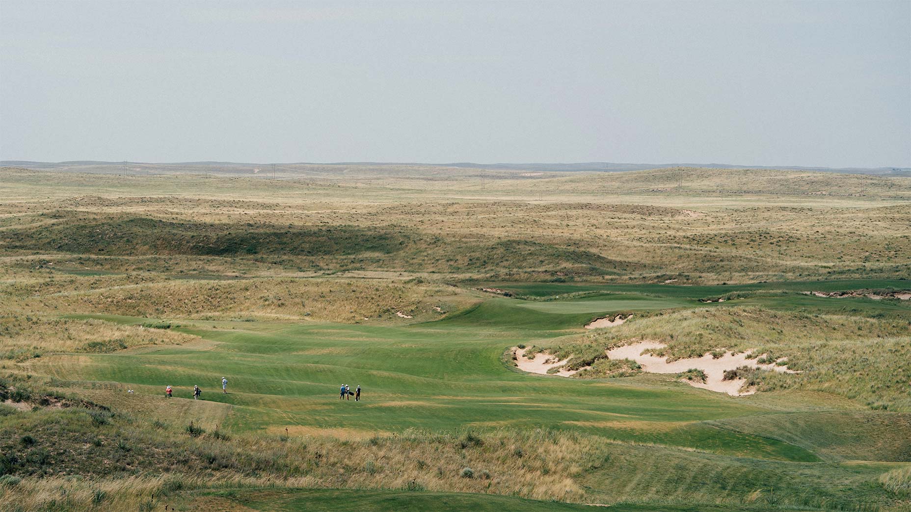 Field system in BallinillaunField system · 42 yd
 Man-made underground passage in BallinillaunMan-made underground passage · 76 yd
 Laghtgal Monumentmonument · 933 yd
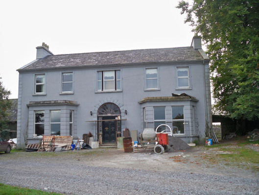 Lavallycountry house · 1280 yd
 Bawn in MoyveelaBawn · 1472 yd
 Toberbrackan CastleCastle, unclassified · 1.1 mi
 Kilcornan WoodWood · 1.1 mi
 Loughaun WoodWood · 1.7 mi
 Drumacoo Monastic SiteHeritage attraction · 4.5 mi
 Athenry AbbeyHeritage attraction · 5.1 mi
 MweenisharanIslet · 5.5 mi
 Goose IslandIslet · 6.9 mi