What is recorded here
Caherleboy is a ruined ringfort in Limerick pasture, its dry-stone arc and earthen bank still marking a fifty-metre circle above the Caher River. The missing wall may have fallen, been taken for farmstone, or never been built because the river and steep south slope did the work of keeping people out. A fort is usually a answer to danger, but this one answers with absence: a circle completed by landscape instead of stone.
In pasture, atop low hill; ground slopes down steeply from S edge of enclosure to Caher River c. 50m to S. Arc of dry-stone wall runs NNE->ENE (H 0.8m; T 0.5m) atop a low broad earthen bank (H c. 0.25m; Wth 2.8m). There is gap (Wth c. 12m) ENE->ESE, before wall resumes ESE->SE again atop low broad earthen bank (H c. 0.4m; Wth c. 5m). Bank fades out at SE but wall continues to SSE where it turns directly S and runs to river bank. No evident trace of enclosing element SSE->NNE though approximate line of enclosing element marked by sharp break in slope SSE->WNW. Enclosed area is roughly circular (diam. 50m SSE-NNE. Interior, under pasture, slopes down gently to S. Farm passage skirts site SSE->WNW.
Compiled by: Denis Power
Date of upload: 26 August 2011
The monument record does not grant public access. Check the route and ask the landowner before entering private land.
- What survives
- Recorded monument
Places near here
 Fulacht fia in CaherlevoyFulacht fia · 906 yd
 Holy well in CaherlevoyHoly well · 1623 yd
 HachuresKiln, lime · 1.1 mi
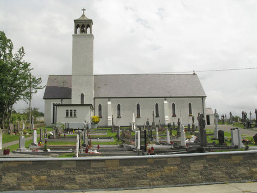 Catholic Church of Our Lady of the Assumptionchurch/chapel · 1.2 mi
 Three CountiesPicnic place · 1.8 mi
 Rock HillMountain / peak · 3.7 mi
 Barnagh HillMountain / peak · 4.2 mi
 TobereenalaffinaSpring · 5.7 mi
 Glenquin CastleCastle · 5.9 mi
 Dotted outlineBawn · 6.9 mi
 Saint Ite's WellSpring · 6.9 mi
 Nohaval WoodWood · 16 mi