What is recorded here
In pasture, on a rise with views S to Mangerton Mountain. A circular area (36m E-W; c. 35m N-S) defined by a well-constructed stone wall (T c. 3m; int. H 1.4m; ext. H 1.3m), which is obscured by overgrowth NW-SE. The internal face of the wall is faced with a later drystone wall (T 0.55m; H 1.4m), some of which rests on the base of the cashel wall. A break (Wth c. 2m) may indicate the entrance at ENE and there is also a cattle break (Wth 1.5m) at N. The interior, in pasture, slopes down gently to the S and has a Man-made underground passage (KE067-038001-) in the N sector. Field-clearance rubble is piled externally along the E arc.
Compiled by: Elizabeth Byrne, Ursula Egan and Sheila Ronan, Archaeological Survey Unit, University College, Cork.
Date of upload: 21 February 2013
Cahereen, Minish is a well-constructed early-medieval ringfort, likely dating to between the 6th and 10th centuries, characterized by a substantial stone wall up to 3 meters thick. Local folklore, common to many such sites in Ireland, may associate it with fairy activity or ancient chieftains, though specific traditions are not recorded.
The monument record does not grant public access. Check the route and ask the landowner before entering private land.
- What survives
- Recorded monument
Places near here
 IndicatedFairy fort / stone ringfort · 395 yd
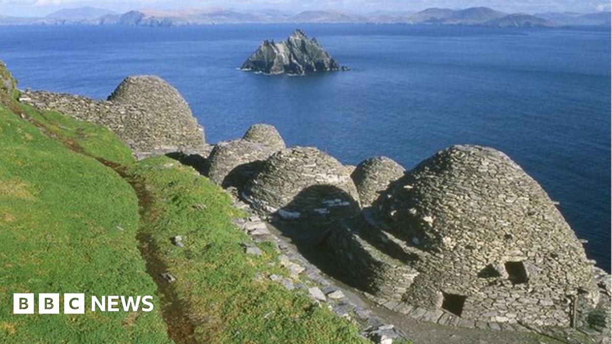 Hut site in ClasheenHut site · 540 yd
 Religious houseReligious house, Franciscan friars · 1044 yd
 Sheheree Bog Nature ReserveNature reserve · 1.3 mi
 Woodfordhouse · 1.3 mi
 Lissivigeen Stone CircleHeritage attraction · 1.4 mi
 Flesk CastleCastle · 1.4 mi
 Mass RockNamed rock · 1.6 mi
 Blue Pool Nature ReserveWood · 1.8 mi
 The Blue PoolGallery · 1.8 mi
 McCarthy Mor CastleCastle · 2.1 mi
 Osprey RockIsland · 2.4 mi
Other information
Photo: Credit not shown in the picture search · Rights wording not checked; contact us if this picture should be removed