What is recorded here
Caherapheepa is a ruined stone ringfort in County Galway, reduced by field clearance to a collapsed northern section overlooking a turlough. It once held two concentric drystone walls, an internal dividing wall, and a hidden underground passage, while local memory claimed the interior served as a graveyard. The missing majority does not disappear; it waits beneath pasture, unchanged and patient, waiting for someone to stop measuring and start listening.
In reclaimed pastureland overlooking a turlough to the E. Classified by McCaffrey (1952, 218-19, no. 1a) as a ‘Stone fort’ (diam. 49.4m overall) defined by two concentric drystone walls. An internal wall ran N-S through the interior. The monument has been almost completely cleared as a result of field-clearance operations and only a section at NE now survives. Both walls are in a collapsed state and lie c. 7m apart. There is a Man-made underground passage (GA104-074002-) in the N half of the interior. According to Redington (1916a, 52), the interior was once used as a graveyard (GA104-074003-).
Compiled by: Galway Archaeological Survey, UCG
Date of upload: 9 January 2017
The monument record does not grant public access. Check the route and ask the landowner before entering private land.
- What survives
- Recorded monument
Places near here
 Man-made underground passage in Caherapheepa,fahymactibbotMan-made underground passage · 1 yd
 CahermoreFairy fort / stone ringfort · 887 yd
 R.C. Chapel (in Ruins)Chapel · 1724 yd
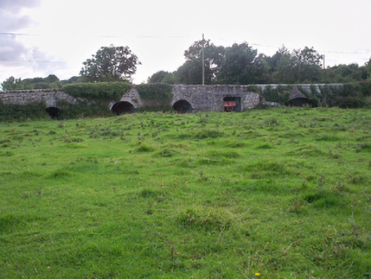 Dunkellin Bridgebridge · 1.1 mi
 Dunkellin Castle (in ruins)Castle, tower house · 1.2 mi
 Castlegar (in ruins)Castle, unclassified · 1.3 mi
 Kilcornan WoodWood · 2.0 mi
 Kilcornan ForestWood · 2.1 mi
 Drumacoo Monastic SiteHeritage attraction · 4.1 mi
 Leadmine HillMountain / peak · 7.4 mi
 Goose IslandIslet · 7.7 mi
 InishcorraIslet · 8.0 mi