What is recorded here
Caheragaleagh is a stone ringfort in County Clare, Ireland. Its name is linked to a fairy story, and that is the kind of place where the ordinary world thins. A person may have lived there, loved there, and been forgotten. The stones still hold the shape of that loss.
The Archaeological Survey of Ireland (ASI) is in the process of providing information on all monuments on The Historic Environment Viewer (HEV). Currently the information for this record has not been uploaded. To access available information for research purposes please make an appointment in advance with the Archive Unit (open Fridays 10.00 am – 5.00 pm), Department of Housing, Local Government and Heritage, The Custom House, Dublin 1 D01W6XO or email NMarchive@housing.gov.ie.
Caheragaleagh, Cappanakilla is a ringfort, a type of early-medieval rural settlement or defensive structure commonly found in Ireland. Local folklore may associate such sites with fairies, and they were often avoided due to beliefs that they were inhabited by supernatural beings.
The monument record does not grant public access. Check the route and ask the landowner before entering private land.
- What survives
- Recorded monument
Places near here
 Enclosure in CappanakillaEnclosure · 347 yd
 Toberarraghta FortFairy fort / stone ringfort · 394 yd
 Magowna CastleCastle · 1430 yd
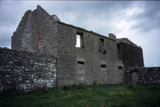 Mollaneen Housefarm house · 1.1 mi
 Kilcross Church (in Ruins)Church · 1.1 mi
 Bawn in Dysert (inchiquin By.)Bawn · 1.2 mi
 Ballygriffy WoodWood · 2.2 mi
 Ardcarney WoodWood · 2.7 mi
 Battle of TullyodeaBattlefield · 3.3 mi
 Rock IslandIsland · 4.1 mi
 Inchiquin IslandIslet · 4.2 mi
 Poul na gollorCave · 4.4 mi