What is recorded here
Caheradoona is a cliff-edge fort on a Galway headland where a nine-metre scarp and deep fosse still guard an oval space above the sea. The steep slope and massive earthworks suggest people built the place to control entry, watch the water and keep danger at a distance. A World War Two lookout later stood at its western edge, as if the cliff kept inviting humans to return and watch the horizon.
On a prominent headland to S of Renvyle Point. Known locally as Cathair an Dúin, it is an oval area (90m by 50m), sloping steeply to N from the cliff edge, defined by a massive revetted scarp (H 9m), a fosse (Wth 6-10m) and an outer bank (Wth c. 3m, H 0.85m). A gap in the bank and a slight rise at about mid-point along the fosse may mark the position of an entrance causeway. In SE part of interior, close to the cliff edge, two grassy banks (E-W c. 5m) may represent the last vestiges of hut. The remains of a 2nd World War lookout stand at W end (info. from M. Casey). (Lynam 1922, 166-7; Killanin 1954, 99; Killanin and Duignan 1967, 413)
The above description is derived from the published 'Archaeological Inventory of County Galway Vol. I - West Galway'. Compiled by Paul Gosling (Dublin: Stationery Office, 1993).
Date of upload: 05 August 2010
The monument record does not grant public access. Check the route and ask the landowner before entering private land.
- What survives
- Recorded monument
Places near here
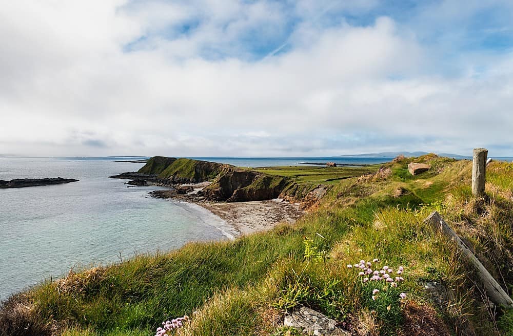 Rinvyle PointHeadland · 820 yd
 Rinvyle Church . . . (in ruins)Church · 1154 yd
 Well of the Seven DaughtersHoly well · 1247 yd
 InishbroanIslet · 1283 yd
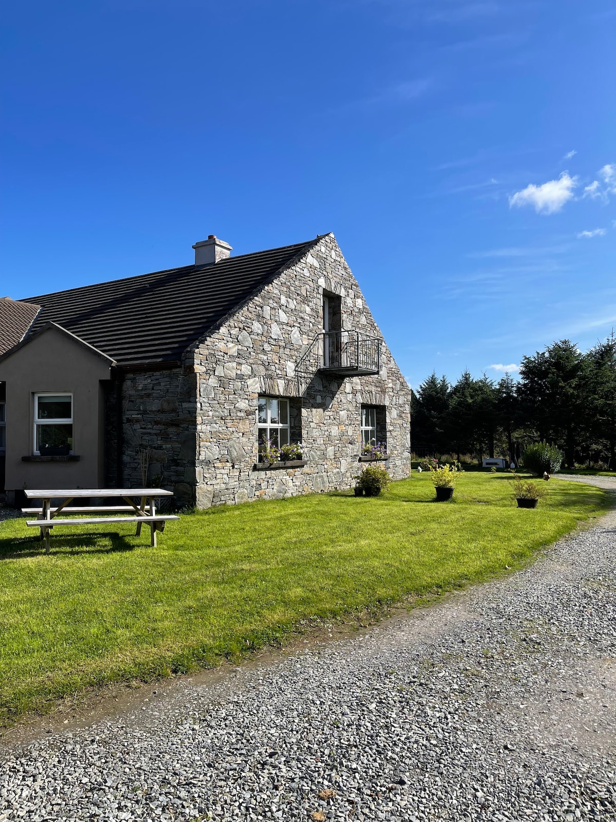 Fulacht fia in CashleenFulacht fia · 1395 yd
 Renvyle CastleCastle · 1516 yd
 Rinvyle Castle (in ruins)Castle, tower house · 1517 yd
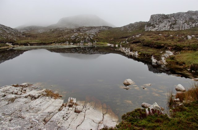 Tully Mountain WestMountain / peak · 1.6 mi
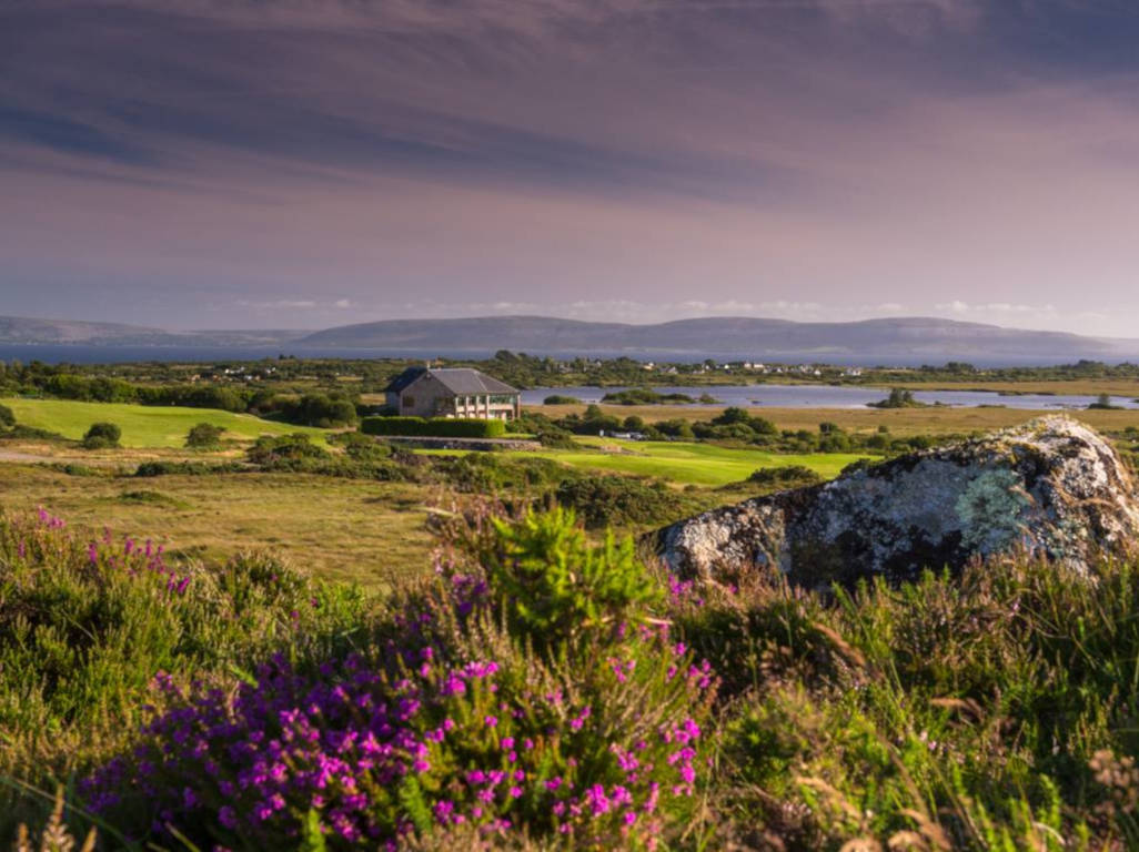 Freaghillaun NorthIslet · 1.7 mi
 Freaghillaun SouthMountain / peak · 1.8 mi
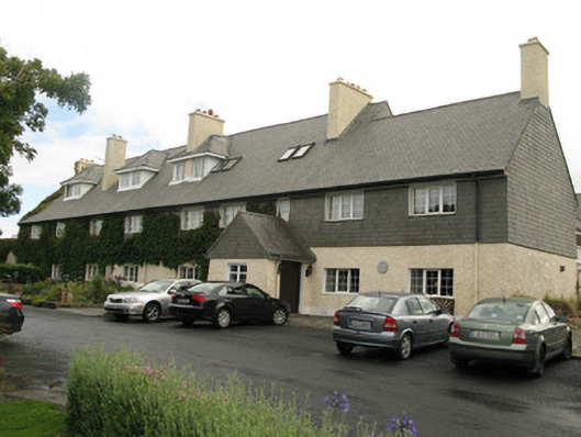 Renvyle House Hotelhotel · 2.0 mi
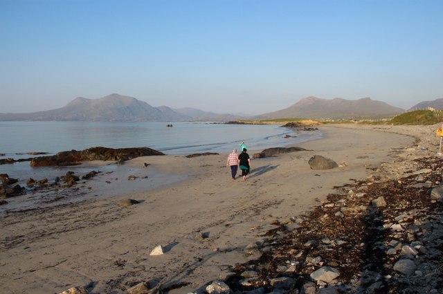 Renvyle BeachBeach / strand · 2.7 mi