
What is recorded here
Caher is a ruined stone ringfort in County Galway, its walls collapsed into pasture and rubble. The fort measures thirty-eight metres north to south and thirty-two metres east to west, with low internal banks and a possible house site in the north-west quadrant. It is a fairy fort in local naming, but the stones mark human occupation: a defended or enclosed settlement reduced by time and field work. What remains is enough to see the shape of the place and imagine the lives that moved within it.
In level pastureland. Poorly preserved subcircular cashel (38m N-S; 32m E-W) defined by two collapsed drystone walls which are partially obscured by field-clearance rubble. Within the interior are numerous low banks of earth and stone, which may be associated internal divisions. A possible house site (GA084-121001-) lies in NW quadrant. (Knox 1918b, 106, no. 3)
Compiled by: Galway Archaeological Survey, UCG
Date of upload: 14 October 2016
The monument record does not grant public access. Check the route and ask the landowner before entering private land.
- What survives
- Recorded monument
Places near here
 IndicatedFairy fort / earthen ringfort · 421 yd
 Enclosure in Ballygarraun SouthEnclosure · 755 yd
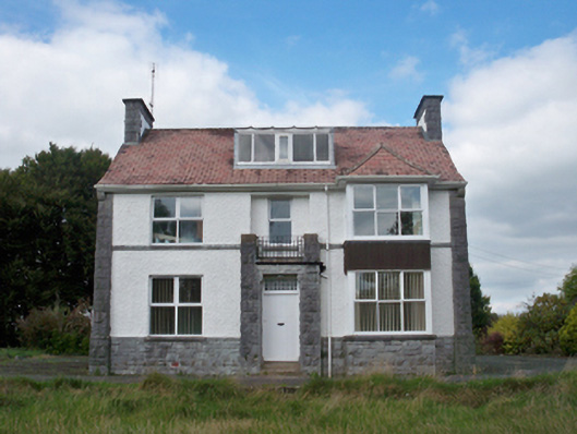 Mellows Campusbuilding misc · 851 yd
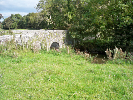 bridgebridge · 1715 yd
 Castle (in Ruins)Castle, unclassified · 1722 yd
 Horse-chestnutHorse-chestnut · 1.6 mi
 Athenry AbbeyHeritage attraction · 1.7 mi
 Castle or King Johns Court (in ruins)Castle, Anglo-Norman masonry castle · 1.7 mi
 Athenry CastleHeritage attraction · 1.7 miFirst Battle of Athenrybattle · 1.9 mi
 Moyard WoodWood · 3.8 mi
 Leadmine HillMountain / peak · 8.7 mi
Other information
Photo: Credit not shown in the picture search · Rights wording not checked; contact us if this picture should be removed