What is recorded here
Galloon holds a sixth-century monastery, a multiperiod church site, a graveyard, two cross shafts and bases. Stone edges still mark the place where people prayed, buried their dead and left crosses behind. What is certain is that the site has been protected since it was recorded, and what is wonder is how much life those stones still contain.
The official Northern Ireland record identifies this as C6th MONASTERY; MULTIPERIOD CHURCH SITE; GRAVEYARD; TWO-CROSS SHAFTS; BASES. Recorded period: MED/L.MED; POST-MED; E.CHRIST.. Recorded protection: Scheduled. The official map point was placed at the centre of the recorded archaeological site from the source map reference.
Early Christian monastery and multiperiod church site, dating from the 6th century onward, with medieval and post-medieval extensions. Its long occupational history and scheduled protection highlight its significance for understanding religious and community continuity in the region.
The monument record does not grant public access. Check the route and ask the landowner before entering private land.
- What survives
- Recorded monument
Places near here
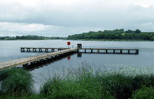 Galloon IslandIsland · 645 yd
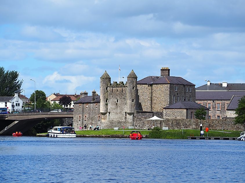 Small IslandIslet · 942 yd
 Derrysteaton ForestWood · 1482 yd
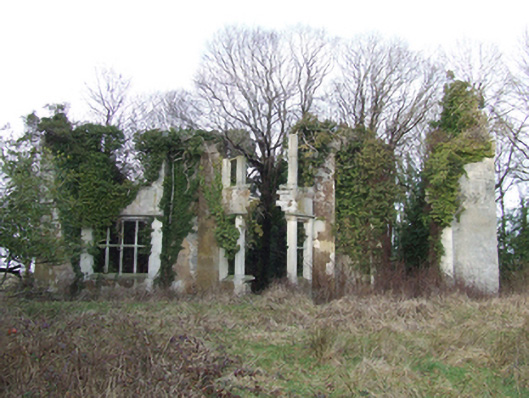 Lanesborough Lodgecountry house · 1.2 mi
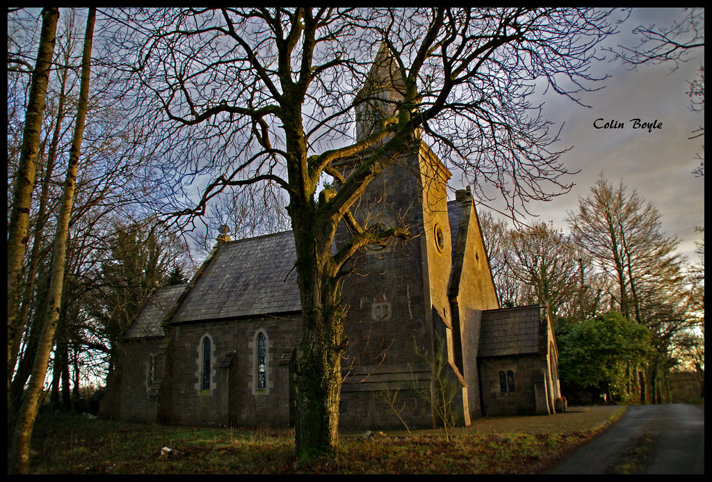 Quivvy WoodWood · 1.2 mi
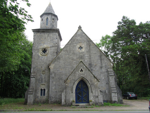 Quivvy Church (Drumlane)church/chapel · 1.4 mi
 Crom Visitors CentreMuseum · 1.5 mi
 InishfendraMountain / peak · 1.6 mi
 CASTLE (unlocated) in DoohatCASTLE (unlocated) · 1.6 mi
 Crom Estate (National Trust)Heritage attraction · 1.7 mi
 Estate Trail, CromWalking route · 1.8 mi
 Old Crom Castle (Ruins)Castle · 1.8 mi