What is recorded here
Mud, timber and breath filled Ballyhackamore during the C17TH, turning a quiet corner of County Down into a living settlement. People likely chopped firewood, tended children, argued over borders and buried their dead beneath soil that has forgotten their names. The ground still holds that much human heat, even when every beam and wall has returned to rot.
The official Northern Ireland record identifies this as C17TH SETTLEMENT SITE. Recorded period: C17TH. The official map point was placed at the centre of the recorded archaeological site from the source map reference.
The monument record does not grant public access. Check the route and ask the landowner before entering private land.
- What survives
- Recorded monument
Places near here
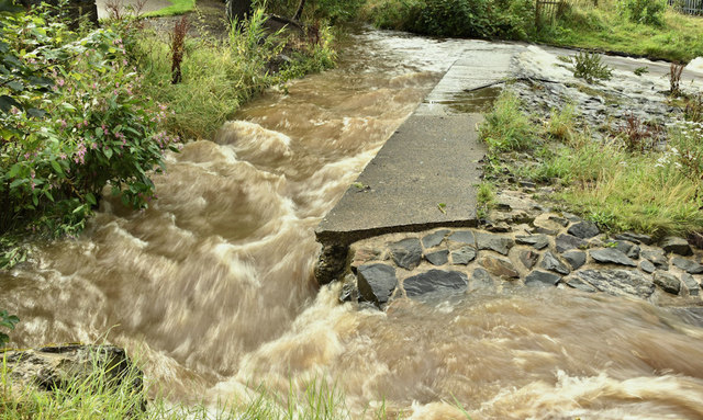 The HollowWood · 409 yd
_-_geograph.org.uk_-_2746574.jpg?width=1280) Con O'Neill BridgeBridge · 468 yd
Con O'Neill BridgeBridge · 468 yd_-_geograph.org.uk_-_4925167.jpg?width=1280) St Donard's Church of Ireland ChurchChurch · 525 yd
St Donard's Church of Ireland ChurchChurch · 525 yd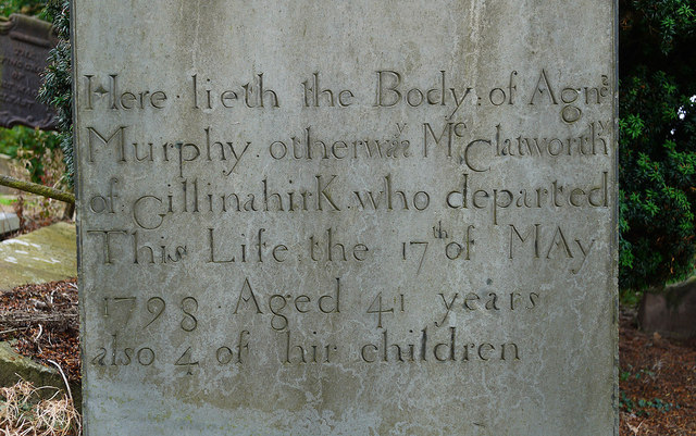 CHURCH RUINS & GRAVEYARD: KNOCK/DUNDELA in KnockCHURCH RUINS & GRAVEYARD: KNOCK/DUNDELA · 1539 yd
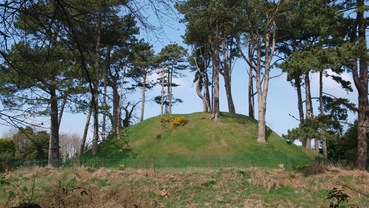 Shandon Park MoundArchaeological place · 1.1 mi
 Battle of St Matthew'sMajor battlefield · 1.1 mi
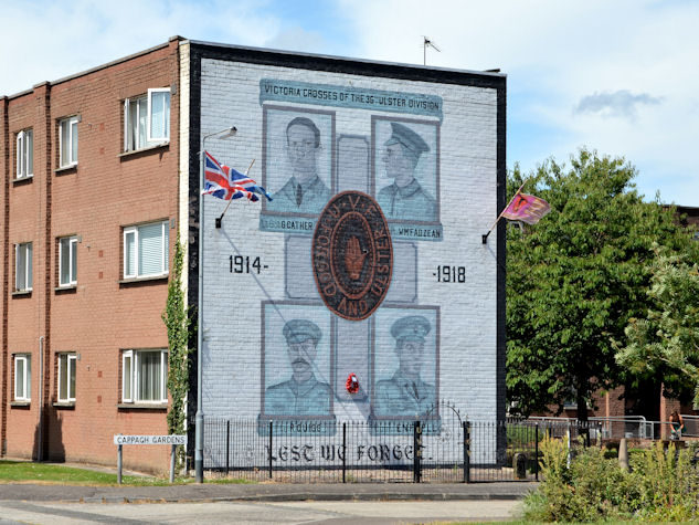 Victoria Crosses of the 36th Ulster DivisionMemorial · 1.2 mi
 Millennium MilepostVisitor information · 1.4 mi
 Conn O'Neill's Castle SiteFort · 1.4 mi
 Rose & Crown Bar bombingbomb attack · 1.6 mi
 Lisnabreeney WaterfallWaterfall · 1.6 mi
 Cregagh GlenWood · 1.7 mi