What is recorded here
The official Northern Ireland record identifies this as C17TH RAMPART, DITCH & CITY WALLS. Recorded period: C17TH; POST-MED. The official map point was placed at the centre of the recorded archaeological site from the source map reference.
The monument record does not grant public access. Check the route and ask the landowner before entering private land.
- What survives
- Recorded monument
Places near here
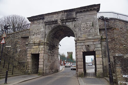 DERRY CITY WALLS in Derry; LondonderryDERRY CITY WALLS · 15 ydSiege of DerrySiege and battlefield · 15 yd
 St Columb's HallHall · 84 yd
 Peace FlameMonument · 128 yd
 GuildhallTown Hall · 167 yd
 Tower MuseumMuseum · 177 yd
 TOWER-HOUSE: O'DOHERTY'S CASTLE or THE MAGAZINE in Derry; LondonderryTOWER-HOUSE: O'DOHERTY'S CASTLE or THE MAGAZINE · 186 yd
 Diamond War MemorialMemorial · 223 yd
 Siege Heroes MemorialMonument · 353 yd
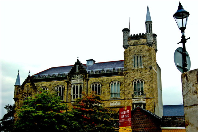 Apprentice Boys of Derry and Siege MuseumMuseum · 356 yd
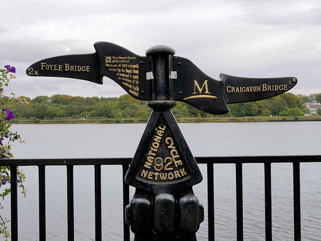 Millennium MilepostVisitor information · 364 yd
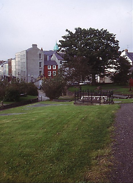 Cathedral viewViewpoint · 371 yd