
What is recorded here
The official Northern Ireland record identifies this as C17TH CHURCH. Recorded period: C17TH. The official map point was placed at the centre of the recorded archaeological site from the source map reference.
The monument record does not grant public access. Check the route and ask the landowner before entering private land.
- What survives
- Recorded monument
Places near here
 Tandragee CastleCountry House · 200 yd
 TOWER-HOUSE: TANDRAGEE CASTLE, TONREGUE in TanderageeTOWER-HOUSE: TANDRAGEE CASTLE, TONREGUE · 218 yd
 St. James' ChurchChurch · 322 yd
 A.P. SITEA.P. SITE, large circular enclosure · 615 yd
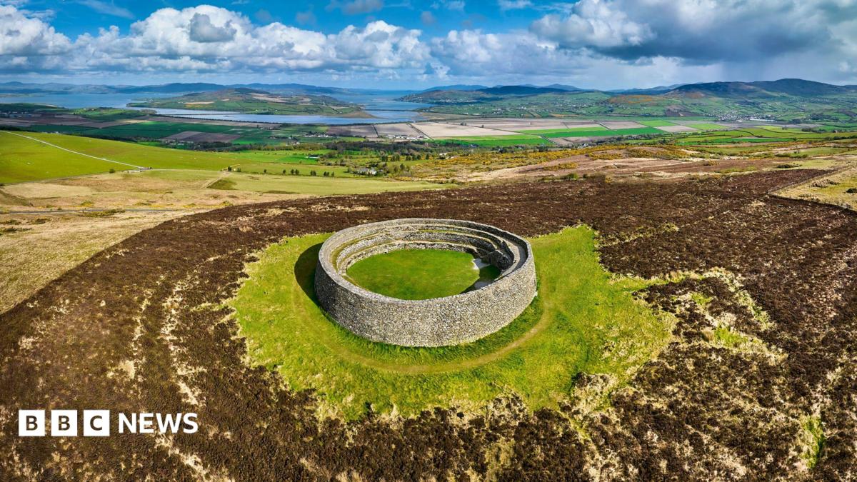 ENCLOSURE: THORNTONS FORT? in BallyknockENCLOSURE: THORNTONS FORT? · 1572 yd
 Glen View TrailWalking route · 1.3 mi
 Clare GlenWood · 1.4 mi
 Stramore HouseCastle · 2.2 mi
 Scarva MemorialMemorial · 2.5 mi
 Newry Canal WayWalking route · 3.5 mi
 Whitecoat PointHeadland · 4.0 mi
 PortadownVisitor information · 5.0 mi
Other information
Photo: Credit not shown · Copyright shown; no reuse licence shown