What is recorded here
Dalway's Bawn stands in Ballyhill, County Antrim, a seventeenth-century stone boundary still marked on the official map. The structure belongs to the post-medieval period and holds scheduled protection, suggesting it served a live household rather than a forgotten field. A family may have walked its edge at dusk, reading the stone as a promise that their land had a name and a limit.
The official Northern Ireland record identifies this as C17th BAWN: DALWAY'S BAWN (PART OF). Recorded period: POST-MED. Recorded protection: State Care and Scheduled. The official map point was placed at the centre of the recorded archaeological site from the source map reference.
The monument record does not grant public access. Check the route and ask the landowner before entering private land.
- What survives
- Recorded monument
Places near here
 ENCLOSURE: PLANTING HILL in DobbslandENCLOSURE: PLANTING HILL · 653 yd
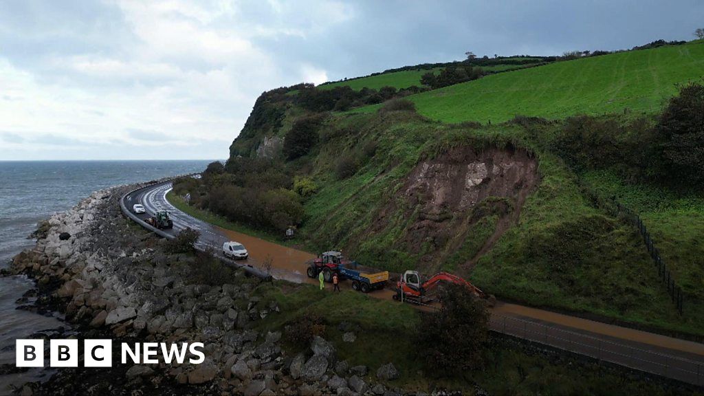 AP Site- Possible enclosure at Porg Hill (rath?) in BallyhillAP Site- Possible enclosure at Porg Hill (rath?) · 968 yd
 FORTIFICATIONFORTIFICATION, BAWN · 1.3 mi
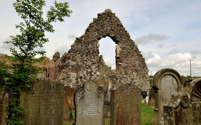 TemplecorranRuins · 1.4 mi
 POST-MED CHURCH; MEDIEVAL PARISH CHURCH; GRAVEYARD: TEMPLECORRAN CHURCH or TEMPLE-I-CORRAN or LISLAYNAN in Forthill (ballycarry)POST-MED CHURCH; MEDIEVAL PARISH CHURCH; GRAVEYARD: TEMPLECORRAN CHURCH or TEMPLE-I-CORRAN or LISLAYNAN · 1.4 mi
 White HarbourHarbour/ Pier · 1.7 mi
 Andrew Jackson Cottage and US Rangers CentreHeritage attraction · 2.1 mi
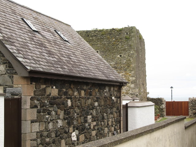 TOWER-HOUSE: CASTLE CHICHESTER in White HeadTOWER-HOUSE: CASTLE CHICHESTER · 2.1 mi
 Muldersleigh HillMountain / peak · 2.7 mi
 US RangersMemorial · 2.9 mi
 Carrickfergus MuseumMuseum · 3.0 mi
 Siege of Carrickfergussiege · 3.1 mi