What is recorded here
Bullseye Wood hid a rectangular burial ground for strangers near Woodford, mapping the southern edge of the deciduous woodland since 1838. A narrow path cut through the trees to reveal stones that marked temporary deaths among passing people. Bramble and forgetting later swallowed the graves, reducing the place to scattered limestone and a forgotten purpose.
In deciduous woodland to the NNW of Woodford village. Indicated on the 1838 and 1920 editions of the OS 6-inch map as an unenclosed rectangular burial ground (c. 20m E-W; c. 15m N-S) in the S end of the wood, named 'Bullseye Wood' on the maps. It was accessed at NE by means of a pathway through the wood. According to the OS Letters (O'Flanagan, 1927, Vol. 2, 211), it was a 'burying place for strangers'. On inspection in June 1983 the area was heavily overgrown with bramble and trees and only a few boulders that may have marked graves were visible. On re-inspection in August 1985 the landowner recalled that rough undressed limestone marked the graves. However, these had subsequently been gathered into a clearance cairn. Apart from some scattered stones, no visible surface trace survives.
Compiled by: Olive Alcock
Date of upload: 5 September 2019
The monument record does not grant public access. Check the route and ask the landowner before entering private land.
- What survives
- Recorded monument
Places near here
 St. Pauls Ch.Church · 337 yd
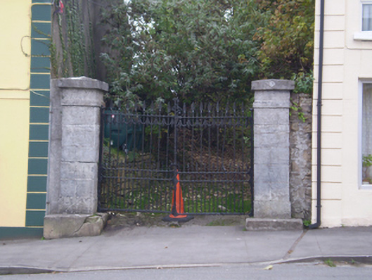 Saint Paul's Church (Ballynakill)gates/railings/walls · 368 yd
 Holy WellHoly well · 1238 yd
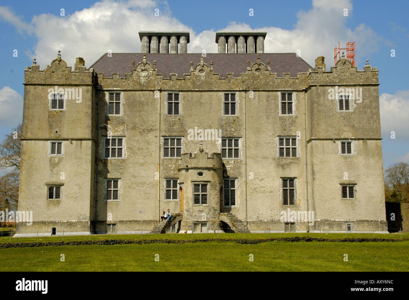 Enclosure in Cappaghcon EastEnclosure · 2.0 mi
 TullymoreMountain / peak · 3.2 mi
 Coolfin Castle (in ruins)Castle, tower house · 3.3 mi
 Red IslandIslet · 4.1 mi
 Gorteeny IslandIslet · 4.1 mi
 Castle in ruinsCastle, unclassified · 4.4 mi
 Coose BayBay · 4.6 mi
 Cregg PointHeadland · 4.6 mi
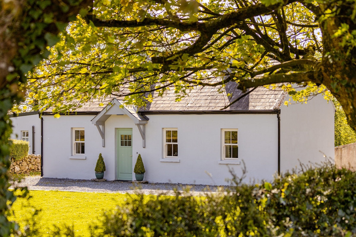 Kylenameely WoodWood · 5.0 mi