What is recorded here
Situated in a low-lying position in a farmyard. It is depicted as a rectangular area (dims c. 15m E-W; c. 15m N-S) described as a burial ground on the 1835 and 1911 editions of the OS 6-inch map. This is a subrectangular area (dims 18m N-S; 8m E-W) defined by wire fences and drystone walls. Three small limestone upright slabs are the only grave-markers. It is known as Tooma after the townland to the SW, the name of which – Tuama – means a mound or burial place. Local folklore records that a church was intended here by St Patrick, but when he departed for Fenagh a local merchant persuaded the builders to relocate the church to Cloone. See this web-page accessed on 18/04/2017 for the Schools Manuscripts: http://www.duchas.ie/en/cbes/4658433/4655116/4660900
The above description is derived from 'The Archaeological Inventory of County Leitrim' compiled by Michael J. Moore (Dublin: Stationery Office, 2003). In certain instances the entries have been revised and updated in the light of recent research.
Date of upload: 23 September 2008
The monument record does not grant public access. Check the route and ask the landowner before entering private land.
- What survives
- Recorded monument
Places near here
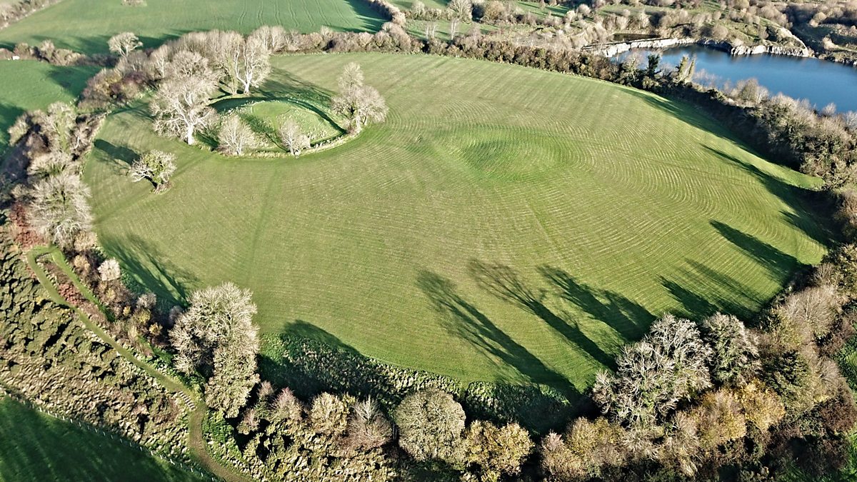 Fairy fort / earthen ringfort in Aghalough (carrigallen By., Aghavas Ed)Fairy fort / earthen ringfort · 1.3 mi
 Holy well in KillyfeaHoly well · 1.5 mi
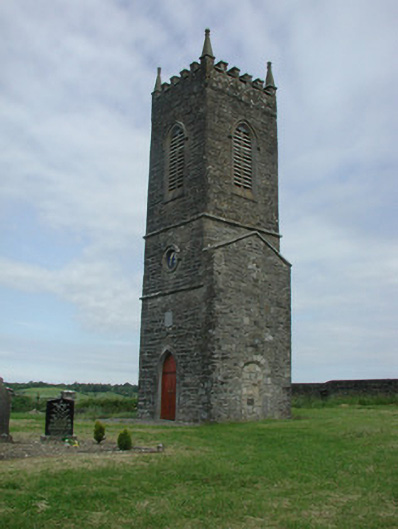 Saint James's Church (Cloone)church/chapel · 1.8 mi
 St Jamess ChChurch · 1.8 mi
 Sessile OakSessile Oak · 2.6 mi
 North Midland Transport CollectionMuseum · 4.7 mi
 European YewEuropean Yew · 4.7 mi
 King's GraveArchaeological place · 4.9 mi
 Giant's GraveArchaeological place · 5.1 mi
 Swan Island pet farmHeritage attraction · 5.2 mi
 DrummuckerMountain / peak · 5.8 mi
 Little IslandIslet · 5.8 mi