What is recorded here
Possibly the site of a church (RO026-052002-) listed as Clonkasa in the ecclesiastical taxation of Elphin in 1306 (Cal. doc. Ire., vol. 5, 224), and situated on the crest of a low NW-SE drumlin ridge. Rectangular grass-covered area (dims 20m NW-SE; 11m NE-SW) defined by a grass-covered earthen bank (Wth 0.9m; H 0.3m) with a few grave-markers. Bullaun stone (RO026-053----) is c. 100m to the SE.
Compiled by: Michael Moore
Date of upload: 24 August 2010
The monument record does not grant public access. Check the route and ask the landowner before entering private land.
- What survives
- Recorded monument
Places near here
 Church in Clooncoose SouthChurch · 1 yd
 Saint Patricks WellArchaeological place · 118 yd
 Embanked enclosureFairy fort / earthen ringfort · 863 yd
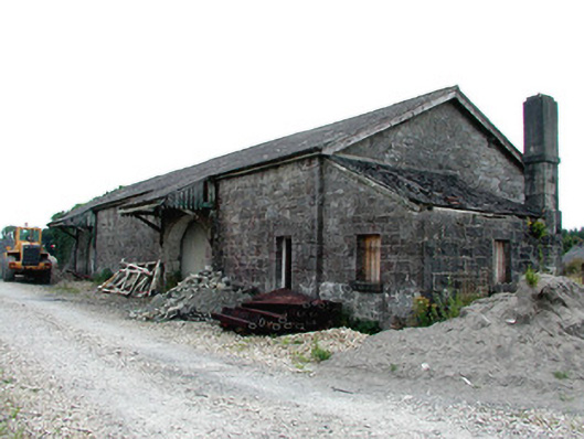 Castlerea Railway Stationlocomotive shed · 1.7 mi
 Workhouse MemorialMemorial · 1.9 mi
 Castlereagh HouseCastle, unclassified · 2.3 mi
 Silver IslandIslet · 2.3 mi
 Coolougher WoodForest · 2.5 mi
 Clonalis HouseMuseum · 3.0 mi
 CastleCastle, Anglo-Norman masonry castle · 3.6 mi
 Rook HillMountain / peak · 5.6 mi
 Site of Killomaine Grave YardArchaeological place · 6.2 mi