What is recorded here
Burying Ground in County Galway holds a D-shaped quiet where limestone boulders and a concrete-capped wall enclose generations of death. Most headstones appeared in the 20th century, yet older 19th-century markers cluster near the church and an 18th-century vault remains inside it. The place does not need legend to feel heavy; it is a living chamber where memory is stacked stone by stone.
Associated with a church (GA125-022001-), which is located in its NE sector. This roughly D-shaped graveyard (c. 56m ENE-WSW) with a straight W side (L c. 48m) is enclosed by a limestone boulder wall along the N, E and S sides and by a rendered wall capped with concrete along the roadside on the W side. Access is via a gateway in the W wall. The majority of the headstones date to the 20th century but some dating to the 19th century are visible to the E and SE of the church. Within the church one burial vault dates to the 18th century.
Compiled by: Olive Alcock
Date of upload: 22 January 2019
The monument record does not grant public access. Check the route and ask the landowner before entering private land.
- What survives
- Recorded monument
Places near here
 Church (in ruins)Church · 12 yd
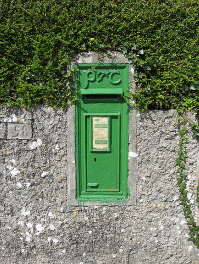 post boxpost box · 200 yd
 CaveMan-made underground passage · 524 yd
 Fulacht fia in Ballynakill (leitrim By.)Fulacht fia · 753 yd
 Coolfin Castle (in ruins)Castle, tower house · 3.2 mi
 Site of CastleCastle, unclassified · 3.2 mi
 Oak WoodForest · 4.3 mi
 Bog WoodForest · 4.5 mi
 TullymoreMountain / peak · 5.5 mi
 Friar's IslandIslet · 6.6 mi
 Abbey IslandIslet · 6.7 mi
 Stonyisland BayBay · 6.9 mi