What is recorded here
Situated at the E edge of a plateau overlooking a SSE-NNW section of the Rive Boyne, which is c. 150m to the NE. A church at Balreask (ME025-036----) is marked as a small feature described as the site of an old chapel on the 1836 ed. of the OS 6-inch map where it is situated towards the N angle of a lightly outlined area (dims c. 40m NE-SW; c. 40m NW-SE) described as a ‘Burying Ground’ on the same map. The graveyard is depicted as a rectangular hachured feature (dims c. 40m NE-SW; c. 35m NW-SE) on the OS 25-inch map. There are no visible remains of a monument in an area now largely buried under a yard. Archaeological monitoring (17E0283) by C. Brady of foundation trenches at the location produced no evidence of the church or graveyard (excavations.ie 2017:068).
Compiled by: Michael Moore
Date of upload: 3 July, 2013
Amended: 14 April, 2021
This remains an important historical record, but the official description says the monument is no longer visible or has been destroyed. The monument record does not grant public access. Check the route and ask the landowner before entering private land.
- What survives
- No visible remains or recorded as destroyed
Places near here
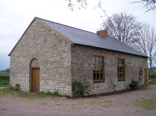 Site of Old ChapelChurch · 3 yd
 Field boundary in AthlumneyField boundary · 448 yd
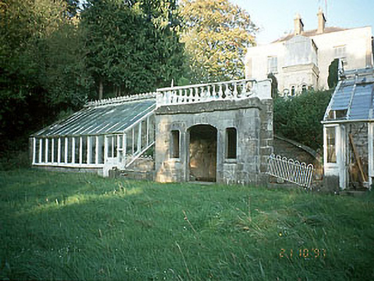 Boyne View Housesummerhouse · 573 yd
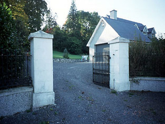 Belmount Housegates/railings/walls · 772 yd
 CastleCastle, motte · 1327 yd
 The RampartWood · 1.1 mi
 Fox CovertWood · 1.7 mi
 Carn HillMountain / peak · 2.0 mi
 Nangle CourtMemorial · 2.1 mi
 Donaghmore Round TowerHeritage attraction · 2.2 mi
 Assey CastleCastle, tower house · 3.3 mi
 BohermeenMountain / peak · 4.4 mi