What is recorded here
Magic and myth are tied to this place. The story is recorded in local memory, not formal history. People still speak about it because the details remain unusual. The area is small, but the claim is not forgotten. That is why it continues to attract attention.
In a wet area, to the NE of a field drain, on a slight NNW-facing slope. An extensive spread (10m SSE-NNW) of burnt material, the depth (D c. 1m) of which is visible in the side of the drain. This may be the fulacht fia, in Rossanean townland, included in an appendix of fulachtaí fia by M. J. O'Kelly (1954, 151). A possible fulacht fia (KE048-067----) is c. 75m to the S. (Castleisland District Archaeological Survey)
Compiled by: Elizabeth Byrne, Ursula Egan and Sheila Ronan, Archaeological Survey Unit, University College, Cork.
Date of upload: 31 January 2011
The monument record does not grant public access. Check the route and ask the landowner before entering private land.
- What survives
- Recorded monument
Places near here
 Monearmore FortFairy fort / earthen ringfort · 1108 yd
 LissabamarkyFairy fort / earthen ringfort · 1159 yd
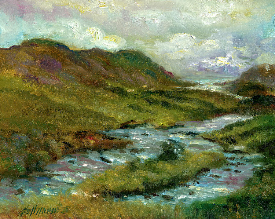 Gortshanavogh Br.Bridge · 1681 yd
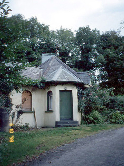 Dicksgrovegate lodge · 1.2 mi
 Site of Currans CastleCastle, unclassified · 2.9 mi
 Fieries CastleCastle · 3.4 mi
 Aghadoe Early Medieval Ecclesiastical SiteHeritage attraction · 6.0 mi
 Famine MemorialMemorial · 6.5 mi
 GinkgoGinkgo · 6.7 mi
 Kerry 2nd Brigade of the Irish Republican ArmyMemorial · 6.8 mi
 Circular WalkWalking route · 6.9 mi
 Giant SequoiaGiant Sequoia · 7.0 mi