What is recorded here
A probable burnt spread or fulacht fiadh, found 0.6m below current ground level. The test trench was extended to the north and south and the site appears to have been situated along the edge of a body of water to the west. The deposit of heat shattered stone and charcoal-rich soil is at least 0.75m in thickness and its extent can be measured as 14m north/south by 8.5m east/west. This has been preserved in situ but there is no surface trace.
Compiled by: Aidan Harte
Date of upload: 7 July 2016
The monument record does not grant public access. Check the route and ask the landowner before entering private land.
- What survives
- Recorded monument
Places near here
 Saint Michael's Church (Killorglin)church/chapel · 1.5 mi
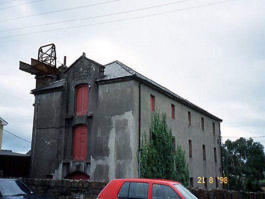 store/warehousestore/warehouse · 1.5 mi
 CastleCastle, tower house · 1.5 mi
 King Puck statueMemorial · 1.6 mi
 CaveMan-made underground passage · 1.6 mi
 Ballykissane Tragedy Wall of RemembranceMonument · 1.6 mi
 Cloon IslandIsland · 2.4 mi
 Clash IslandIslet · 2.9 mi
 Kerry Bog VillageHeritage attraction · 3.4 mi
 Lough Yganavan Nature ReserveNature reserve · 3.7 mi
 Lough Nambrackdarrig Nature ReserveNature reserve · 4.0 mi
 Cromane BeachBeach / strand · 4.5 mi