
What is recorded here
Knockaneacoolteen holds a wide scar of burnt material in wet pasture west of a stream, waiting for rain or memory to reveal what it swallowed. The landowner found the spread during early 1970s reclamation, suggesting human fire and loss long before modern tools opened the ground. The chart records a burn event, not a palace or graveyard, yet the size and damp setting imply a place where life was ended or discarded in a single violent act.
In wet pasture, to the W of a stream. A large spread of burnt material was noted by the landowner during land reclamation in the early 1970s. Some burnt material is visible in the area. (Castleisland District Archaeological Survey)
Compiled by: Elizabeth Byrne, Ursula Egan and Sheila Ronan, Archaeological Survey Unit, University College, Cork.
Date of upload: 31 January 2011
The monument record does not grant public access. Check the route and ask the landowner before entering private land.
- What survives
- Recorded monument
Places near here
 Fulacht fia in KnockaneacoolteenFulacht fia · 275 yd
 Man-made underground passage in KilleensMan-made underground passage · 425 yd
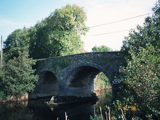 Maine Bridgebridge · 1.4 mi
 Ballyfinnane Br.Bridge · 1.5 mi
 Site of CourtCastle, unclassified · 1.8 mi
 CastleCastle, ringwork · 1.8 mi
 Ballygamboon Forest Recreation AreaWood · 3.2 mi
 Common AlderCommon Alder · 3.6 mi
 PoulatouirtCave · 4.2 mi
 Poulclashcannon (blocked)Cave · 4.4 mi
 Scotia's GraveArchaeological place · 4.6 mi
 KnockmoyleMountain / peak · 4.9 mi
Other information
Photo: Credit not shown in the picture search · Rights wording not checked; contact us if this picture should be removed