What is recorded here
Located in the N bank of the Burnfoot River, c. 100m W of a bridge on the NW outskirts of Burnfoot village.
A layer of burnt material is exposed in section in the riverbank at a depth of c. 0.25-0.3m below ground surface. A metal object and metal slag were retrieved from the layer. It was identified during an archaeological assessment in advance of a proposed flood relief scheme.
Compiled by: Jane O’Shaughnessy
Date of upload: 19 April 2023
The monument record does not grant public access. Check the route and ask the landowner before entering private land.
- What survives
- Recorded monument
Places near here
 Cashel HillMountain / peak · 1469 yd
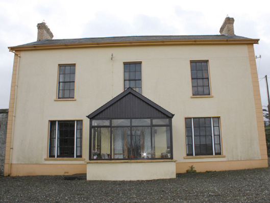 farm housefarm house · 1.1 mi
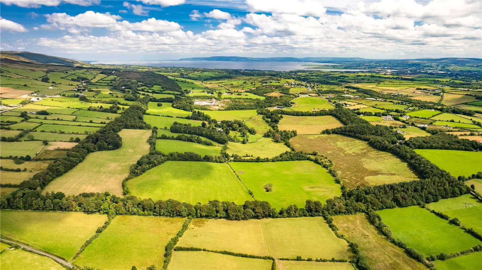 Former Garvary EnclosureEnclosure · 1.2 mi
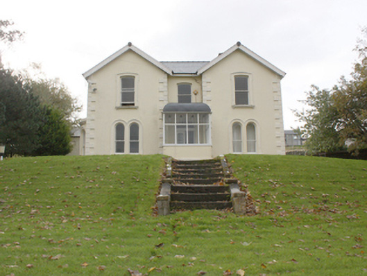 Lisfannon Presbyterian Mansemanse · 1.3 mi
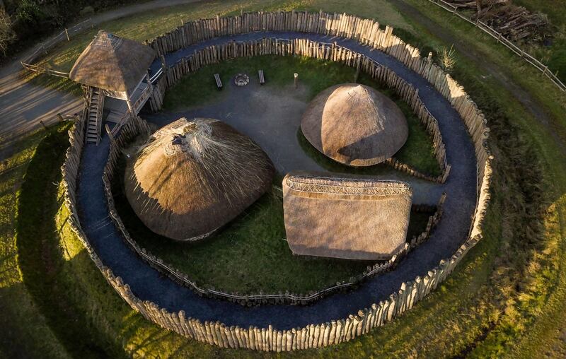 Fairy fort / ringfort in Castlequarter (fahan Ed)Fairy fort / ringfort · 1.5 mi
 Bawn in An Machaire Beag (tc Fathain)Bawn · 2.0 mi
 Mass RockNamed rock · 2.5 mi
 Greenan MountainMountain / peak · 2.6 mi
 Grianán of AileachFairy fort / stone ringfort · 2.6 mi
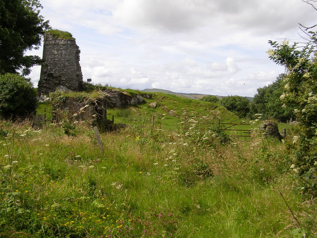 CASTLE & EARTHWORK ENCLOSURE: DOHERTY TOWER or CASTLE AILEACH in Elagh MoreCASTLE & EARTHWORK ENCLOSURE: DOHERTY TOWER or CASTLE AILEACH · 2.6 mi
 InchIsland · 3.6 mi
 King's GraveArchaeological place · 3.6 mi