What is recorded here
On a S facing slope of a low ridge, overlooking low lying ground to the S, including a small pond or wet area. A burnt spread (15 m N-S. 9.5m E-W) visible after ploughing. (pers. comm. C.
Corlett)
Compiled by: Claire Breen
Date of upload: 06 March 2013
The monument record does not grant public access. Check the route and ask the landowner before entering private land.
- What survives
- Recorded monument
Places near here
 Church in Inchanappa SouthChurch · 292 yd
 Enclosure in BroomfieldEnclosure · 301 yd
 Enclosure in Inchanappa SouthEnclosure · 309 yd
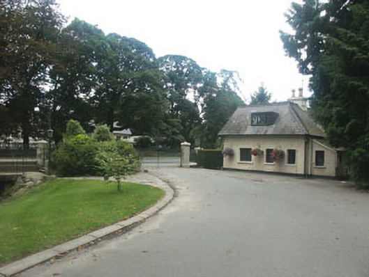 Inchanappa Housegate lodge · 620 yd
 American SweetgumAmerican Sweetgum · 949 yd
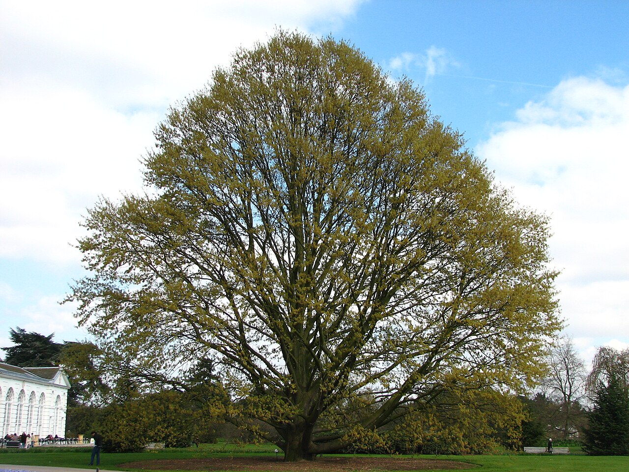 Chestnut-leaved OakChestnut-leaved Oak · 951 yd
 CastleCastle, unclassified · 1.4 mi
 Round MountCastle, motte · 3.0 mi
 Devil's Glen WaterfallWaterfall · 3.1 mi
 Carrick MountainMountain / peak · 3.6 mi
 Glen Beach Cliff WalkWalking route · 4.6 mi
 Leamore StrandBeach / strand · 5.3 mi