What is recorded here
This site was examined by Kate Taylor (02E0626) as part of Bord Gáis Éireann's Pipeline to the West. 'A single spread of material was excavated immediately to the west of a complex of prehistoric features and was probably part of the same focus of activity (No. 1108 above, BGE 3/66/9-10, 02E0625). The deposit was an irregular oval in plan, measuring 1.5m by 0.8m, and occupied a shallow (0.09m) depression in the natural geological deposits. The material was a dark brown/black, silty clay with a large charcoal component and a moderate amount of heat-cracked stone. The only artefacts recovered were two pieces of animal bone, one almost complete and the other a small burnt fragment. A large quantity of charcoal was recovered from a sieved sample, including several sizeable charred twig fragments that will be suitable for species identification and radiocarbon dating.' The above description is posted on the web at the following internet address: http://www.excavations.ie/ (accessed 22 August 2012).
Compiled by: Denis Power
Date of upload: 22 August 2012
The monument record does not grant public access. Check the route and ask the landowner before entering private land.
- What survives
- Recorded monument
Places near here
 Kinnoor WellSpring · 273 yd
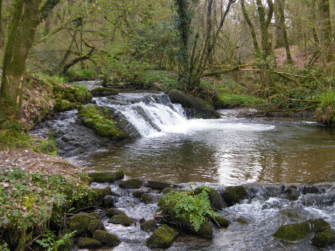 Fulacht fia in KilfinnyFulacht fia · 667 yd
 Kilfinny CastleCastle · 932 yd
 CastleCastle, unclassified · 939 yd
 KilnKiln, lime · 1090 yd
 Grave YardGraveyard · 1125 yd
 Ballynakill Housecountry house · 1244 yd
 Dysert AenghusaHeritage attraction · 1.8 mi
 KnockfeerinaMountain / peak · 2.5 mi
 Flat cemetery in Kiltenan SouthFlat cemetery · 2.5 mi
 Biodiversity in the Maigue CatchmentVisitor information · 2.8 mi
 Famine stoneMemorial · 2.8 mi