What is recorded here
In a flat valley at the base of a NE-facing slope of a NW-SE ridge. One of five burnt spreads (KK042-054----; KK042-055----; KK042-056----; KK042-057----; KK042-058----) identified along this valley floor. A small spread (dims. 6m N-S; c. 5m E-W) of black charcoal-rich soil with some burnt stone evident. The spread is roughly level with the field surface.
Compiled by: Jean Farrelly
Date of upload: 10 August 2017
The monument record does not grant public access. Check the route and ask the landowner before entering private land.
- What survives
- Recorded monument
Places near here
 Silverspring Housefarmyard complex · 376 yd
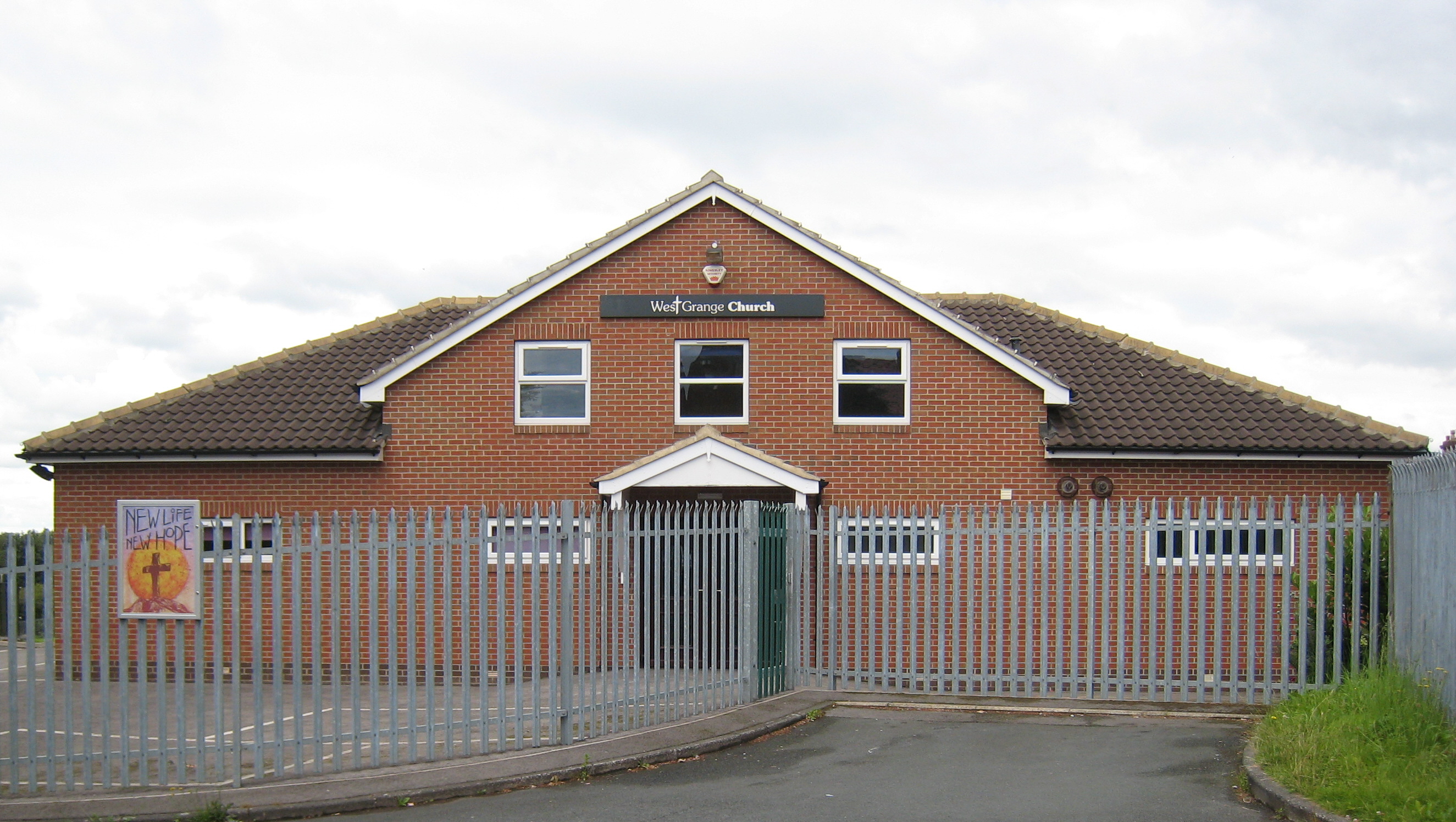 Church in Grange (iverk By.)Church · 735 yd
 CastleCastle, tower house · 1575 yd
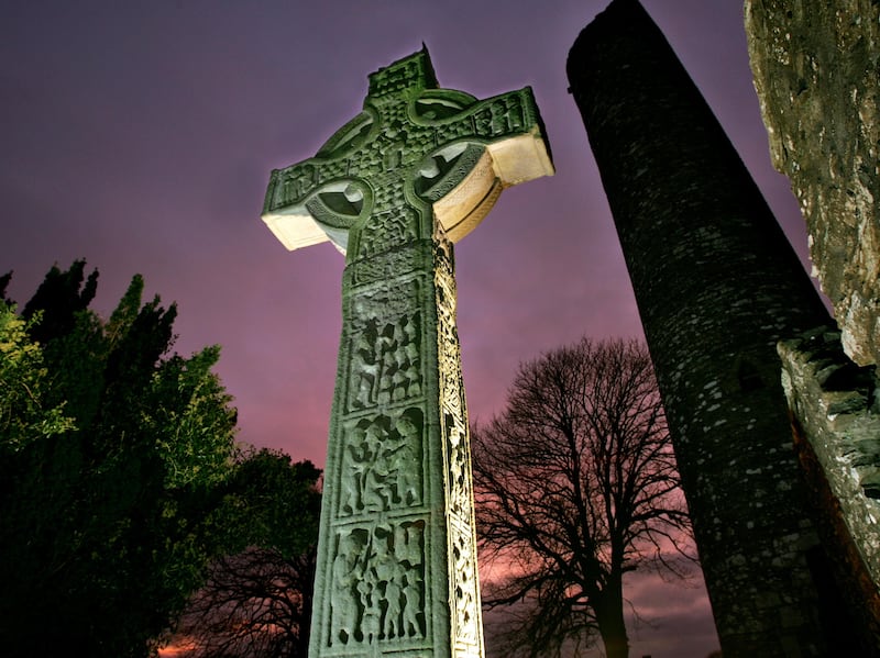 Sinnott's Cross MonumentMonument · 1755 yd
 Clonconey House (site of)Archaeological place · 1.1 mi
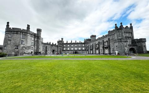 Ballynaboley WoodForest · 1.7 mi
 Gortrush WoodForest · 2.0 mi
 Rockets Castle (in ruins)Castle, tower house · 2.1 mi
 Portlaw Heritage CentreMuseum · 3.3 mi
 Tower HillMountain / peak · 3.8 mi
 Donnell's HillMountain / peak · 4.7 mi
 Waterford & Suir Valley RailwayHeritage attraction · 5.0 mi