What is recorded here
On a W-facing slope in heavily ploughed agricultural land. Excavated in 2007 in advance of the N9/N10 Kilcullen to Waterford road improvement scheme (Licence no. E3671). An oval-shaped pit with a small flue extending at SE and evidence of intense burning. A single deposit contained a mixture of burnt clay, charcoal and other waste material. Three pits found 8m to the E and SE were interpreted as waste pits. A sample of charcoal from the fill of the pit returned a radiocarbon date of 750-408 cal BC (UBA-14026). (Devine 2010, 242, no. 910; Devine and Coughlan 2011)
Compiled by: Mary Tunney
Date of upload: 26 November 2013
The monument record does not grant public access. Check the route and ask the landowner before entering private land.
- What survives
- Recorded monument
Places near here
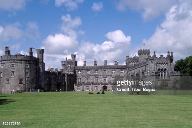 Danganbeg Castle (Site of)Castle, unclassified · 621 yd
 IndicatedEnclosure · 677 yd
 BaysrathArchaeological place · 1530 yd
 Vicarsfield Rectoryrectory/glebe/vicarage/curate's house · 1642 yd
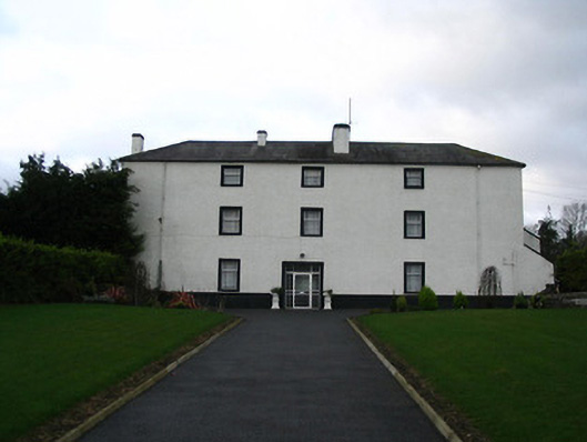 Flood Hallcountry house · 1.0 mi
 Turkey OakTurkey Oak · 1.1 mi
 Sheepstown Castle (site of)Archaeological place · 1.3 mi
 Pat WalshMemorial · 2.3 mi
 Site of Village Well 1810-1950Memorial · 2.4 mi
 Kells Augustinian PrioryHeritage attraction · 2.6 mi
 Kells Loop WalkWalking route · 2.8 mi
 Kells Priory Mill MuseumMuseum · 3.0 mi