What is recorded here
Uncovered during the monioring of topsoil-stripping immediately N of the Nenagh bypass. Twelve pits were uncovered, 'these pits were mostly positioned some distance away from each other, although one cut through an earlier pit and several had small post-holes/stake-holes cutting through their base. They varied in size from 0.42m x 0.3m x 0.15m to 1m x 1.4m x 0.6m. They were generally filled with black, greasy clay and burnt, red clay - in some cases the surrounding subsoil had also been fired. Charred timber, a few pieces of burnt bone, hazelnut shells and some metal slag were recovered from some of the pits. Although nothing datable was recovered, it is likely that the finds form an integral part of the Bronze Age activity to the east of the site' (McConway 2000a, 189). The site is associated with a prehistoric house site (TN020-133002) (ibid.).
Compiled by: Caimin O'Brien.
Date of upload: 22 September 2008
The monument record does not grant public access. Check the route and ask the landowner before entering private land.
- What survives
- Recorded monument
Places near here
 Hut site in BenedinHut site · 33 yd
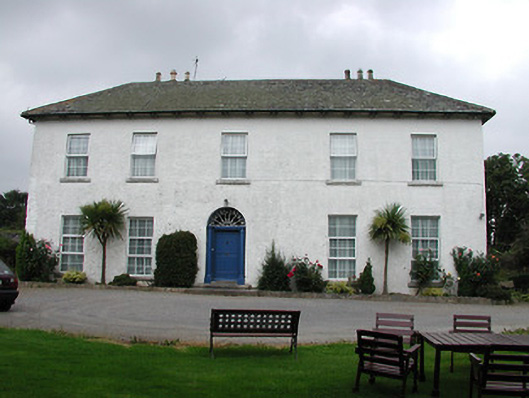 Tyone Housemill manager's house · 1530 yd
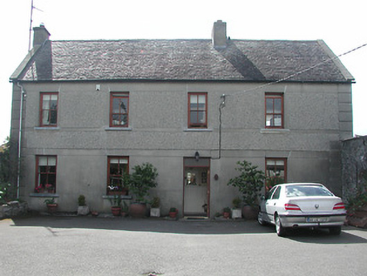 Silver Viewhouse · 1590 yd
 ToberabrahilHoly well · 1724 yd
 Site of Bawn CastleCastle, unclassified · 1.0 mi
 Tullahedy CastleCastle · 1.2 mi
 Nenagh Heritage CentreMuseum · 1.4 mi
 Old BarracksHeritage attraction · 1.5 mi
 Gibbet HillMountain / peak · 2.0 mi
 Sweet ChestnutSweet Chestnut · 3.4 mi
 Our Lady Assumed into HeavenMemorial · 3.8 mi
 The MinerMemorial · 3.8 mi