What is recorded here
The official Northern Ireland record identifies this as BURNT MOUNDS (2). Recorded period: C17TH; POST-MED. The official map point was placed at the centre of the recorded archaeological site from the source map reference.
Burnt mounds, likely dating to the Bronze Age, are prehistoric features associated with heat-related activities such as cooking or hide-tanning. Their significance lies in providing insight into domestic or industrial practices of early communities.
The monument record does not grant public access. Check the route and ask the landowner before entering private land.
- What survives
- Recorded monument
Places near here
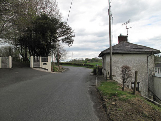 Aghafin Housegate lodge · 835 yd
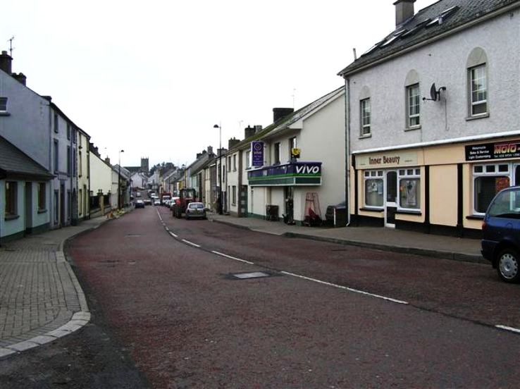 RathkeevanArchaeological place · 1689 yd
 Stonebridge Orange HallOrange Hall · 1.1 mi
 IslandhillArchaeological place · 1.2 mi
 PLANTATION TOWER-HOUSE & BAWN (unlocated) in ShannockPLANTATION TOWER-HOUSE & BAWN (unlocated) · 1.7 mi
 Jaundice WellSpring · 2.1 mi
 Saint John's WellSpring · 2.9 mi
 Bawn in CrossmoyleBawn · 2.9 mi
 KillycoonaghWood · 2.9 mi
 Abbey RuinsHeritage attraction · 3.0 mi
 The Cassandra Hand CentreMuseum · 3.0 mi
 Common LimeCommon Lime · 3.1 mi