What is recorded here
The official Northern Ireland record identifies this as Burnt mound spread. Recorded period: UNCERTAIN. The official map point was placed at the centre of the recorded archaeological site from the source map reference.
Burnt mound spread; likely dating to the Neolithic or Bronze Age. These features are associated with ritual or industrial activities, such as heat-treated stone use in cooking or hide processing.
The monument record does not grant public access. Check the route and ask the landowner before entering private land.
- What survives
- Recorded monument
Places near here
 CHURCH & GRAVEYARD: ENAGH or DOMNACH DOLA in TempletownCHURCH & GRAVEYARD: ENAGH or DOMNACH DOLA · 1414 yd
 CHURCH, GRAVEYARD & possible ENCLOSURE (from APs): DERGBRUAGH in GranshaCHURCH, GRAVEYARD & possible ENCLOSURE (from APs): DERGBRUAGH · 1.2 mi
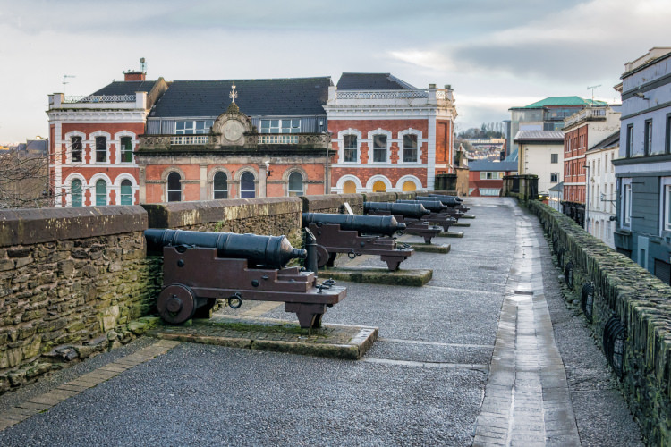 ENCLOSURE in GortreeENCLOSURE · 1.3 mi
 Siege of Derry Boom Stone"The Boom Stone" (Traditionally part of 17th century boom across the River Foyle during the Siege of Derry) · 1.7 mi
 BrookhallCountry House · 1.8 mi
 St. Columb's Park HouseHotel · 2.2 mi
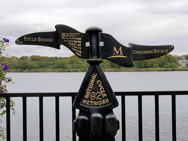 Millennium MilepostVisitor information · 2.5 mi
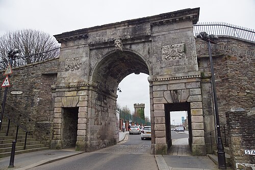 Siege of DerrySiege and battlefield · 2.6 mi
 Tower MuseumMuseum · 2.6 mi
 TOWER-HOUSE: O'DOHERTY'S CASTLE or THE MAGAZINE in Derry; LondonderryTOWER-HOUSE: O'DOHERTY'S CASTLE or THE MAGAZINE · 2.6 mi
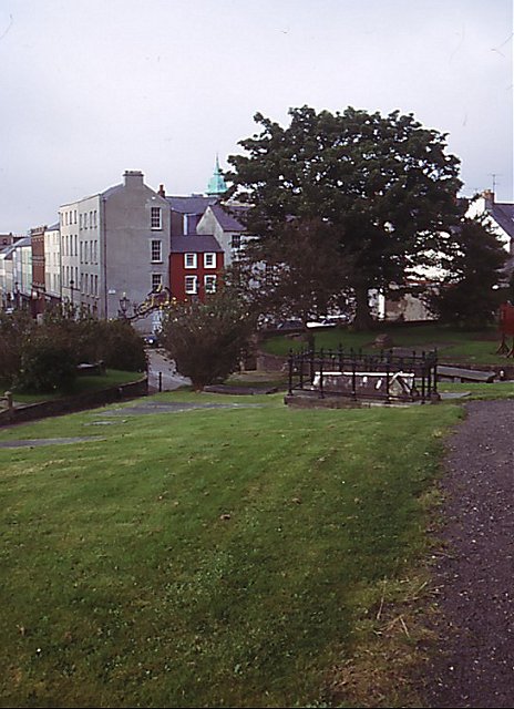 Cathedral viewViewpoint · 2.7 mi
 Diamond War MemorialMemorial · 2.7 mi