What is recorded here
Situated on an E-facing slope with the NW-SE Blackwater River c. 200m to the E. Archaeological testing (E003641) by S. Rathbone (2007) of about 3 hectares required for the M3 development identified a burnt mound (excavations.ie 2007:1419) together with a pit and a gully which are within c. 30m of it. The mound (diam. c. 8m; T 0.2m) consisted of a spread of broken and burnt stone in a matrix of black clay and appeared in only one trench. About 30m to the S a single pit (diam. 1.1m) was filled with broken and burnt stone, and c. 10m further S a section of an E-W gully (L 10m; Wth 0.3m; D 0.07m) came to light which was also filled with broken and burnt stone. All the features are preserved in situ by being excluded from the works. (Rathbone 2007)
Compiled by: Michael Moore
Date of upload: 6 January 2023
Rathbone, S. 2007 M3 Clonee – North of Kills Motorway Scheme. Proposed Borrow pit at Woodpole. Licence: E003641. Unpublished report, Archaeological Consultancy Services
Burnt mound in Woodpole is a Neolithic ritual or domestic site, dating to approximately 4000–2500 BCE, characterised by a heap of heat-shattered stones, often associated with water. Such sites are significant for understanding early prehistoric land use, water management, and possible ceremonial practices.
The monument record does not grant public access. Check the route and ask the landowner before entering private land.
- What survives
- Recorded monument
Places near here
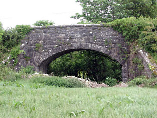 Woodpole Bridgebridge · 478 yd
 Woodpole Fox CovertWood · 554 yd
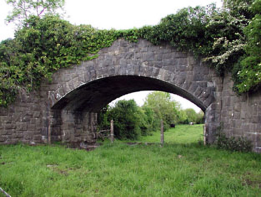 Jack's Bridgebridge · 797 yd
 HawthornHawthorn · 1733 yd
 CrossCross, High cross · 1.0 mi
 Grave YardGraveyard · 1.0 mi
 Balgree MoteCastle, motte · 1.4 mi
 FortsCastle, motte and bailey · 1.5 mi
 MaperathMountain / peak · 2.2 mi
 MountainpoleMountain / peak · 3.0 mi
 The Kieran Flanagan WayMemorial · 3.0 mi
 Great Famine ProjectMemorial · 3.1 mi