What is recorded here
The official Northern Ireland record identifies this as BURNT MOUND. The official map point was placed at the centre of the recorded archaeological site from the source map reference.
The monument record does not grant public access. Check the route and ask the landowner before entering private land.
- What survives
- Recorded monument
Places near here
 TREE RING & ENCLOSURE in DrumbulcanTREE RING & ENCLOSURE · 717 yd
 Kilgortnaleague BridgeBridge · 1.0 mi
 Parish Church Of MagheracrossChurch · 1.1 mi
 ENCLOSURE in CoolgarranENCLOSURE · 1.1 mi
 Derrynanny WoodWood · 1.3 mi
 CASTLE (unlocated) in DrumkeenCASTLE (unlocated) · 1.3 mi
 Mulloch Moss WoodWood · 2.0 mi
 MULTIPERIOD CHURCH & GRAVEYARD in MagheracrossMULTIPERIOD CHURCH & GRAVEYARD · 2.2 mi
 Necarne CastleRuins · 2.4 mi
 Hay IslandIsland · 2.9 mi
 Long IslandIsland · 3.0 mi
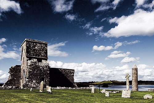 Devenish IslandIsland · 4.2 mi