What is recorded here
Identified during archaeological monitoring associated with the Limerick Main Drainage Southern Interceptor Scheme. Excavated under licence no. 00E0204 by Paul Stevens (Stevens 2000), the results were summarised as following; ‘The site was revealed as a small oval deposit of fire-cracked sandstone and charcoal-rich silt within a small ovoid hollow, in white and yellow glacial marl. The deposit measured 4.2m in length (south-east/north-west) by 1.8m and 0.15m in maximum depth, 2.659–2.542m OD. Excavation revealed no definitive cut, and the hollow had an irregular profile. No other archaeological features were identified in the surrounding area, although the marshy flood-plain terrain is characteristic of the siting of fulachta fiadh’ (www.excavations.ie; Stevens 2002, 201).
Compiled by: Martin Fitzpatrick
Date upload: 26 June 2020
Burnt mound in Rossbrien is a Neolithic ritual or industrial site, dating to the third millennium BCE. Its significance lies in providing evidence of early human activity and land use in the region.
The monument record does not grant public access. Check the route and ask the landowner before entering private land.
- What survives
- Recorded monument
Places near here
 St. Dominicks Church (in ruins)Church · 226 yd
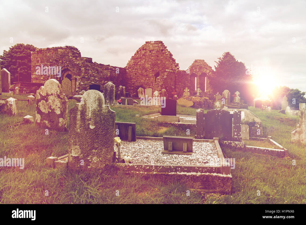 Grave YardGraveyard · 232 yd
 Man-made underground passage in RossbrienMan-made underground passage · 411 yd
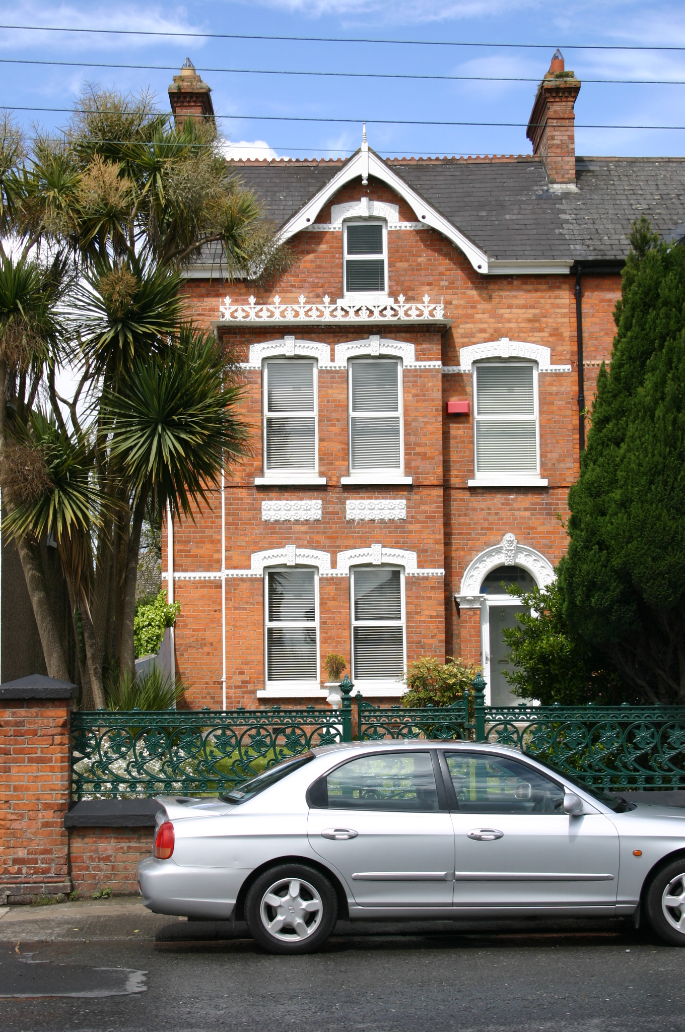 Kilbridehouse · 1032 yd
 Limerick Seamen's MemorialMemorial · 1.4 mi
 Castle (in ruins)Castle, tower house · 1.4 mi
 Saint John Paul IIMemorial · 1.4 mi
 CastleCastle, unclassified · 1.7 mi
 Fountain SculptureHeritage attraction · 3.3 mi
 Visitor CentreVisitor information · 3.3 mi
 Campus MapVisitor information · 3.3 mi
 Seán Keating GalleryGallery · 4.5 mi