What is recorded here
In pasture, at the base of a steep S-facing slope which forms one side of a narrow flat-bottomed E−W valley of wet, rush-grown ground. Modern field drains extend E−W along both the N and S sides of the valley at the edges of the wet ground. The mound is located toward the W end of the valley, at the interface between wet ground and rising, drier ground at N.
A low, elongated semicircular mound (5.6m N–S; 14.7m E–W; H 0.45m at S), bordered on the straight side to N by an E−W field drain (now dry and grass grown). Beneath the sod cover of the mound is a layer of black soil overlying a concentration of angular stone fragments.
Compiled by: Jane O'Shaughnessy
Date of upload: 9 March 2023
Burnt mound in Robeenard is a Bronze Age ritual or industrial site, characterized by heated stones and associated features. Its location suggests it may have been used for ceremonial purposes or heat-related activities such as hide or grain processing.
The monument record does not grant public access. Check the route and ask the landowner before entering private land.
- What survives
- Recorded monument
Places near here
 Enclosure in RobeenardEnclosure · 283 yd
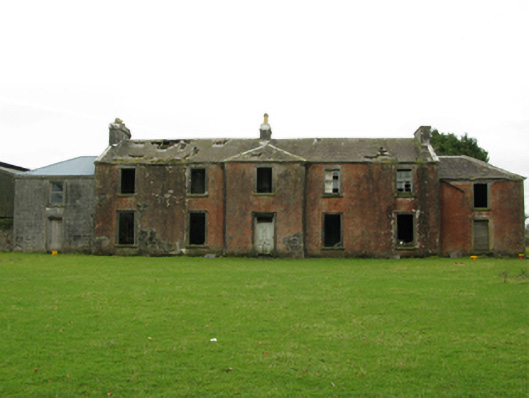 Kilrush Houseschool · 858 yd
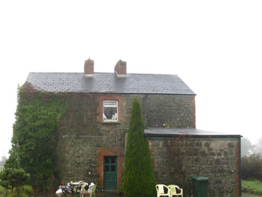 Hollymount Railway Stationstation master's house · 1087 yd
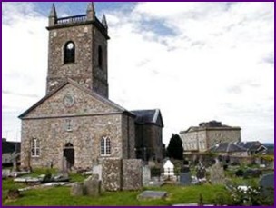 IndicatedFairy fort / earthen ringfort · 1408 yd
 Castle (ruin)Castle, unclassified · 1.7 mi
 Bunacrower CastleCastle · 2.3 mi
 SycamoreSycamore · 2.5 mi
 Geoffrey's WoodForest · 4.9 mi
 Pleasure IslandIslet · 5.7 mi
 Creevagh IslandIslet · 5.9 mi
 Land of the GiantsHeritage attraction · 6.0 mi
 Quiet Man MuseumMuseum · 11 mi