What is recorded here
Archaeological monitoring (03E0666) by K. Campbell of an area of about 25 hectares (c. 60 acres) in the N borrowing area of a mining development identified seven principal areas of archaeological potential that were set aside for further investigation (excavations.ie 2003:1448). Site 3 is described by Campbell (2004, 11) as a spread of broken and burnt stone (dims 23m E-W; 10m N-S) in a low-lying area with a W-E stream or drain just to the N. There were four discrete features situated up the slope of a small rise c. 16-20m to the S, and a second small spread of broken and burnt stone (diam. 1.2-1.2m) was c. 38m SE of the larger burnt mound spread. By the time P. D. Sweetman (2010, 8-10) returned to excavate (10E0075) the area the mound had been reduced to a small spread (dims c. 6m x 1.1m; T 0.1m) of broken and burnt stone, but there was no trough. However, there were some outlying features in at least three pits (diam. 0.37m; D 0.18m to 1.25m s 1m; D 0.14m), all with charcoal flecks and some with broken sandstone.
Compiled by: Michael Moore
Date of upload: 27 March 2023
Campbell, K. 2004 Report on Archaeological Monitoring at Randalstown, Co. Meath. Licence: 03E0666. Unpublished report, Author
Sweetman, P. D 20 Report on Archaeological Assessment and Resolution of Archaeological Features (sites 1-5) Randalstown, County Meath. July-August 2011. Licence: 10E0075. Unpublished report, Author
A burnt mound in Randalstown is a Neolithic or Bronze Age ritual or industrial feature, typically associated with heat-related activities; its presence indicates prehistoric human activity in the area.
The monument record does not grant public access. Check the route and ask the landowner before entering private land.
- What survives
- Recorded monument
Places near here
 Randalstown HseCastle, unclassified · 808 yd
 St. Annes ChapelChurch · 1207 yd
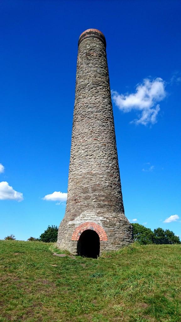 St. Annes WellHoly well · 1290 yd
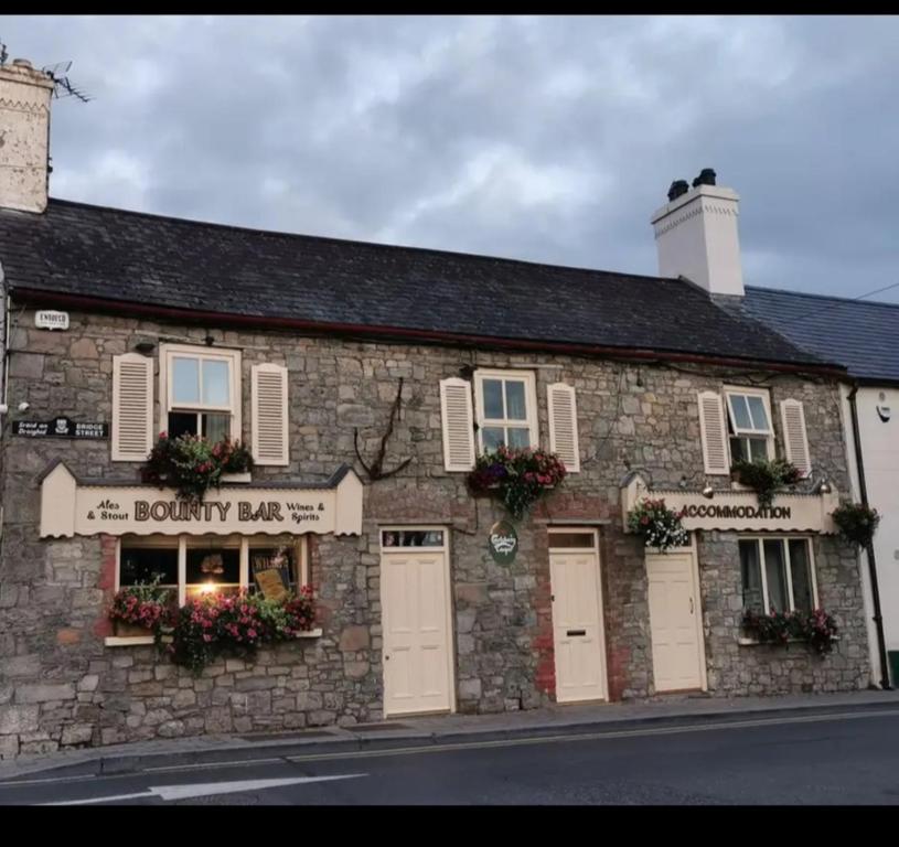 ToberdoneyHoly well · 1.2 mi
 sexton's housesexton's house · 1.7 mi
 Liscartan CastleCastle, tower house · 1.8 mi
 Gibbstown House EntranceWood · 2.0 mi
 Nangle CourtMemorial · 2.2 mi
 Donaghmore Round TowerHeritage attraction · 2.8 mi
 Blackcastle DemesneWood · 2.9 mi
 Mullagha HillMountain / peak · 3.7 mi
 Faughan HillMountain / peak · 3.8 mi