What is recorded here
Situated beside a small stream. A circular feature (diam. c. 25m) visible on an aerial photograph (GSIAP). On inspection in 1989 there were no visible remains at ground level. Testing in 2006 in advance of a housing development (Licence no. 06E1027) revealed a curving band of burnt material consistent with that of a burnt mound. (Devine 2006; Devine 2009, 282, no. 1087)
Compiled by: Mary Tunney
Date of upload: 29 October 2013
Burnt mound in Raheenarran is a fulacht fiadh, dating to the Early to Middle Bronze Age (c. 2000–1200 BCE). These sites were likely used for cooking, feasting, or ritual activities and are significant for understanding prehistoric settlement and land use in Ireland.
The monument record does not grant public access. Check the route and ask the landowner before entering private land.
- What survives
- Recorded monument
Places near here
 Curraghnadimpaun Ringfort (rath)Archaeological place · 1.1 mi
 Ballygowan (Posonby) RingfortArchaeological place · 1.1 mi
 Brawder's Family BlacksmithHeritage attraction · 1.9 mi
 CastleCastle, motte · 1.9 mi
 E. Powerhouse · 1.9 mi
 Kilmacoliver/ Tullahought School 1876-1973Visitor information · 2.0 mi
 Saint Nicholas's Catholic Churchchurch/chapel · 2.0 mi
 Irish Republic 1916-2016Memorial · 2.1 mi
 Woodland LoopWalking route · 2.2 mi
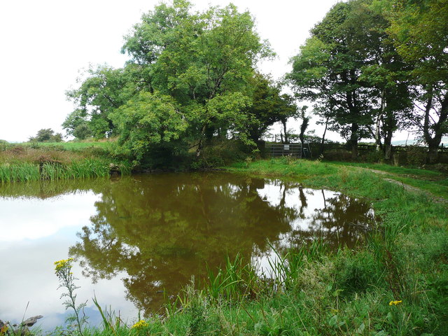 Dwyer Homestead and Pond, BregaunVisitor information · 2.3 mi
 Old Court (Site of)Castle, unclassified · 2.5 mi
 Kilmacoliver HillMountain / peak · 2.6 mi