What is recorded here
Located on a slight E-facing slope. Archaeological monitoring (02E0160) on a windfarm identified a spread of burnt mound material (L 6.2m; max. T 0.35m) which was exposed in one side of a trench connecting Turbines 13 and 14. It remains unexcavated but its precise location is not known. (Purcell 2002, 13)
Compiled by: Michael Moore
Date of upload: 25 March, 2014
Burnt mound in Nethertown is a Bronze Age ritual or industrial site, characterized by a spread of heat-altered stones. Its presence indicates prehistoric land use and human activity in the area.
The monument record does not grant public access. Check the route and ask the landowner before entering private land.
- What survives
- Recorded monument
Places near here
 Nethertown Farm settlement (Site of)Ruins · 100 yd
 The Caravan RockNamed rock · 321 yd
 St, Vogues Chapel in ruinsChurch · 378 yd
 Hut site in St. Vogue'sHut site · 385 yd
 St. Vogues WellHoly well · 404 yd
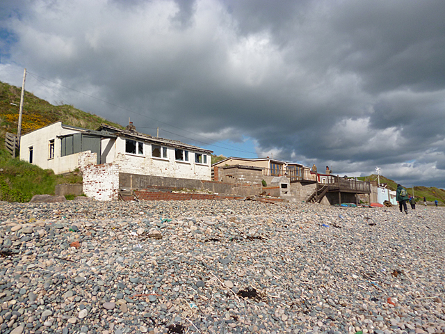 Nethertown BeachBeach / strand · 685 yd
 Hole of the ForlornBeach / strand · 792 yd
 The CaamstoneNamed rock · 1201 yd
 CastleCastle, tower house · 1227 yd
 The Chour / The Hill of the ChourMountain / peak · 1.2 mi
 Site of CastleCastle, unclassified · 1.3 mi
 Lifeboat MemorialMemorial · 1.3 mi