What is recorded here
Located towards the bottom of a S-facing slope with a small NE-SW stream c. 180m to the SE. A spread of burnt and cracked stones and black clay (dims.11m N-S; 9m E-W) is visible when the field is ploughed.
The above description is derived from the published 'Archaeological Inventory of County Wexford' (Dublin: Stationery Office, 1996). In certain instances the entries have been revised and updated in the light of recent research.
Compiled by: Michael Moore
Date of upload/revision: 21 May, 2012
Burnt mound in Mullaunreagh is a Bronze Age ritual or industrial site, characterized by heated stones and darkened soil. Its significance lies in providing evidence of prehistoric activity, possibly related to cooking, metalworking, or ceremonial practices.
The monument record does not grant public access. Check the route and ask the landowner before entering private land.
- What survives
- Recorded monument
Places near here
 Church in Ballyregan (scarawalsh By.)Church · 1103 yd
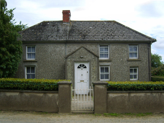 farm housefarm house · 1292 yd
 The CoilWood · 1.1 mi
 The GroveWood · 1.1 mi
 Giants BedNamed rock · 1.1 mi
 Carrigroe HillMountain / peak · 1.2 mi
 Ritual siteRitual site, holy/saint's stone · 1.3 mi
 Fulacht fia in RockspringFulacht fia · 1.5 mi
 Father Murphy CentreHeritage attraction · 1.9 mi
 IndicatedCastle, ringwork · 2.2 mi
 Boley HillMountain / peak · 2.5 mi
 Bird BoxesVisitor information · 3.6 mi